Summary
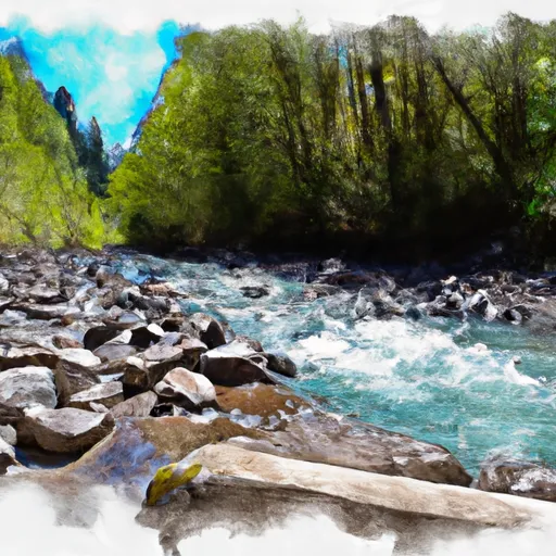
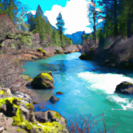
The ideal streamflow range for the river is between 1000-5000 cfs, with the peak season being from late May to early July. The river is rated as a Class III-IV, with some sections reaching Class V during high water.
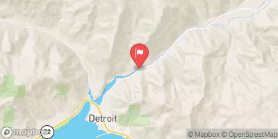
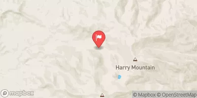
The segment mileage for the Little North Santiam River is approximately 14 miles, running from the Fishermen's Bend Recreation Site to the North Santiam State Park. The river is known for its technical rapids, including the "Hole in the Wall" and "Screaming Left Turn," which require precise navigation and experience.
Specific regulations to the area include a requirement for all boaters to wear a properly fitting personal flotation device (PFD) at all times. Additionally, all boaters must have a valid boater pass or permit, which can be obtained from the Oregon State Parks website.
Overall, the Little North Santiam River offers a challenging and rewarding whitewater experience for experienced boaters, with stunning scenery and exciting rapids. It is important to respect the regulations and safety guidelines in place to ensure a safe and enjoyable trip.
°F
°F
mph
Wind
%
Humidity
15-Day Weather Outlook
River Run Details
| Last Updated | 2025-06-28 |
| River Levels | 1320 cfs (3.11 ft) |
| Percent of Normal | 88% |
| Status | |
| Class Level | iii-iv |
| Elevation | ft |
| Streamflow Discharge | cfs |
| Gauge Height | ft |
| Reporting Streamgage | USGS 14181500 |
5-Day Hourly Forecast Detail
Nearby Streamflow Levels
Area Campgrounds
| Location | Reservations | Toilets |
|---|---|---|
 Elkhorn Valley Recreation Site
|
||
 Shady Cove Campground
|
||
 Santiam Horse Camp
|
||
 Fishermens Bend
|
||
 Fishermens Bend Recreation Site
|
||
 Butte Creek campground
|


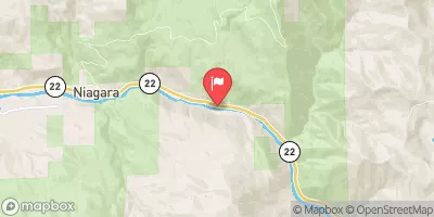
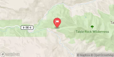
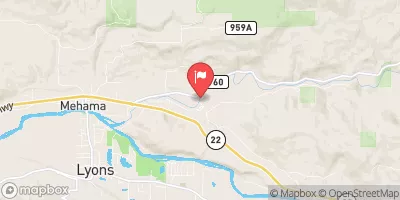
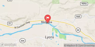
 Packsaddle Park
 Little North Santiam River
 Battle Axe Creek To Willamette Nf Boundary
 Packsaddle County Park to Mill City
 North Santiam River
 Opal Lake To Confluence With Battle Axe Creek
 North Santiam State Recreation Area
 Santiam State Forest
 Table Rock Wilderness
 John Neal Memorial Park
 Silver Falls State Park