Summary
The best time to float this section is during the spring runoff, typically between March and May, when water levels are high enough to provide exciting rapids without being too dangerous. Recommended flow levels range from 1,500 to 4,000 cfs. Kayakers and experienced rafters will enjoy this section of the river, but novice boaters should approach with caution.
°F
°F
mph
Wind
%
Humidity
15-Day Weather Outlook
River Run Details
| Last Updated | 2023-06-13 |
| River Levels | 1600 cfs (3.37 ft) |
| Percent of Normal | 63% |
| Optimal Range | 800-15000 cfs |
| Status | Runnable |
| Class Level | II+ to III+ |
| Elevation | 1,103 ft |
| Run Length | 7.5 Mi |
| Gradient | 27 FPM |
| Streamflow Discharge | 1030 cfs |
| Gauge Height | 2.9 ft |
| Reporting Streamgage | USGS 14181500 |
5-Day Hourly Forecast Detail
Nearby Streamflow Levels
 North Santiam River At Niagara
|
1030cfs |
 Little North Santiam River Near Mehama
|
883cfs |
 Schafer Creek Near Lacomb
|
6cfs |
 Breitenbush R Abv French Cr Nr Detroit
|
753cfs |
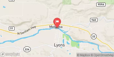 North Santiam River At Mehama
|
2460cfs |
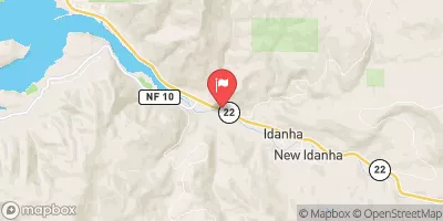 No Santiam R Blw Boulder Crk
|
1030cfs |


 Santiam Horse Camp
 Elkhorn Valley Recreation Site
 Shady Cove Campground
 Fishermens Bend
 Fishermens Bend Recreation Site
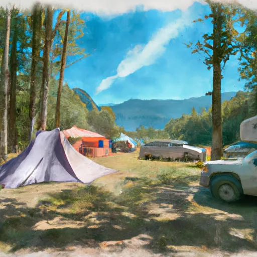 Detroit Lake State Park Campground
 Packsaddle Park
 Packsaddle County Park to Mill City
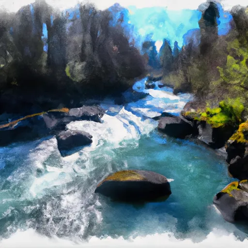 North Santiam River
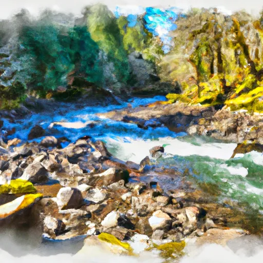 Little North Santiam River
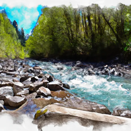 Battle Axe Creek To Willamette Nf Boundary
 Opal Lake To Confluence With Battle Axe Creek
 Confluence With North Fork Breitenbush River To Detroit Reservoir
 Santiam State Forest
 North Santiam State Recreation Area
 Detroit Lake- Mongold Wayside
 Detroit Lake State Recreation Area
 Wilderness Opal Creek