Summary
This boat ramp is a concrete boat ramp that provides easy access to the water. It is wide enough to accommodate most boats and trailers.
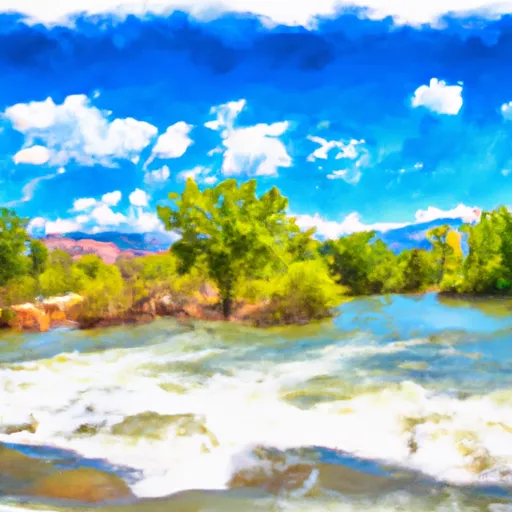
The body of water that the Road 191 Chaffee County boat ramp services is the Arkansas River. The Arkansas River is a popular destination for fishing, kayaking, rafting, and other water activities. The river is known for its scenic beauty and good fishing.
The kind of craft that are permitted on the water depends on the water conditions and the regulations in place. Typically, the Arkansas River allows boats, kayaks, canoes, and rafts. However, the specific rules and regulations may differ depending on the location and time of year.
To verify this information, it is recommended to check with the local authorities or the Colorado Parks and Wildlife website for the latest updates and regulations.
°F
°F
mph
Wind
%
Humidity

 Road 191 Chaffee County
 AHRA - Stone Bridge Rec Site
 AHRA - Big Bend Rec Site
 AHRA - Hecla Junction Rec Site
 AHRA - Salida East Rec Site
 Salida Town Run (Stone Bridge to Salida WW Park)
 Salida Whitewater Park
 Salida to Rincon
 Arkansas River Segment 3
 Pass Creek
 Browns Canyon (Fisherman's Bridge to Stone Bridge)
 Frantz Lake SWA
 Sands Lake SWA
 Chalk Lake Fishing Site
 Baldwin Lake