Summary
It is a popular destination for boaters who want to access the nearby water body. According to the latest information available, Matchless Boating Site is a concrete boat ramp that is 12 feet wide. It is situated on the shore of the Arkansas River, which is a popular destination for anglers, kayakers, and whitewater rafters.
The Arkansas River is a major tributary of the Mississippi River, and it flows through several states, including Colorado. It is a popular destination for boaters because of its scenic beauty, diverse wildlife, and challenging rapids. At Matchless Boating Site, boaters can launch a variety of watercraft, including kayaks, canoes, paddleboards, and small motorized boats.
The Matchless Boating Site is run by the Bureau of Land Management (BLM), and it has several amenities for boaters. There is a large parking area near the boat ramp, which can accommodate trailers and vehicles. There are also restrooms and picnic tables nearby for boaters to use. The BLM recommends that boaters check the current water conditions before launching, as the river can be unpredictable and dangerous at times.
In summary, Matchless Boating Site is a 12 feet wide concrete boat ramp located in Colorado, USA. It services the Arkansas River, which is a popular destination for boaters, anglers, and whitewater enthusiasts. Kayaks, canoes, paddleboards, and small motorized boats are permitted on the water. Boaters should check the current water conditions before launching and use the amenities provided by the BLM.
°F
°F
mph
Wind
%
Humidity

 Matchless Boating Site
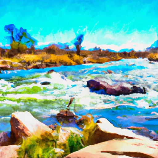 Arkansas River Segment 1
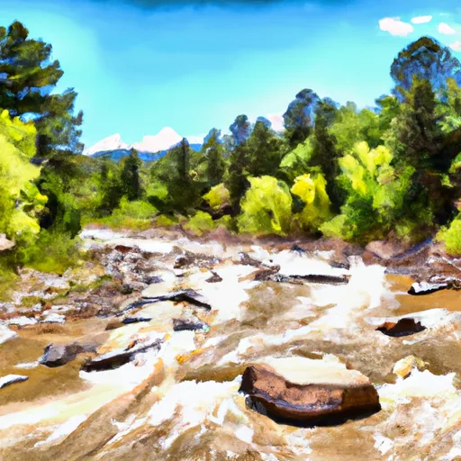 East Fork Arkansas River
 Turquoise Lake
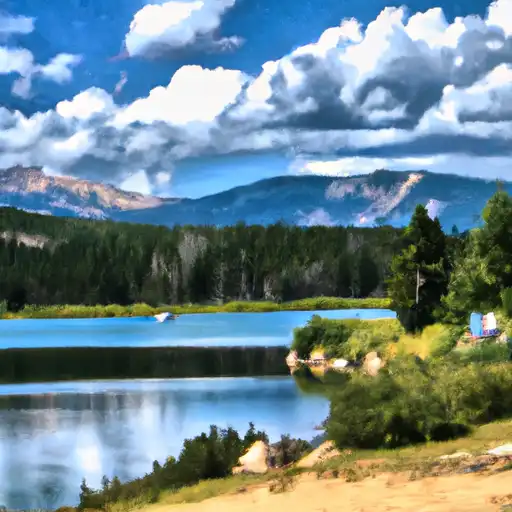 Crystal Lakes
 Crystal Lake Fishing Site
 Hayden Meadows Reservoir
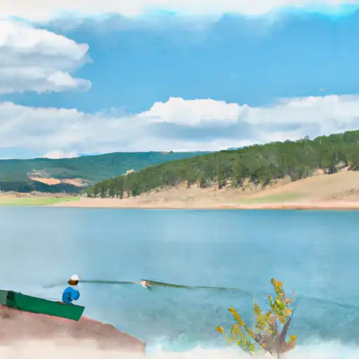 Homestake Reservoir