Summary
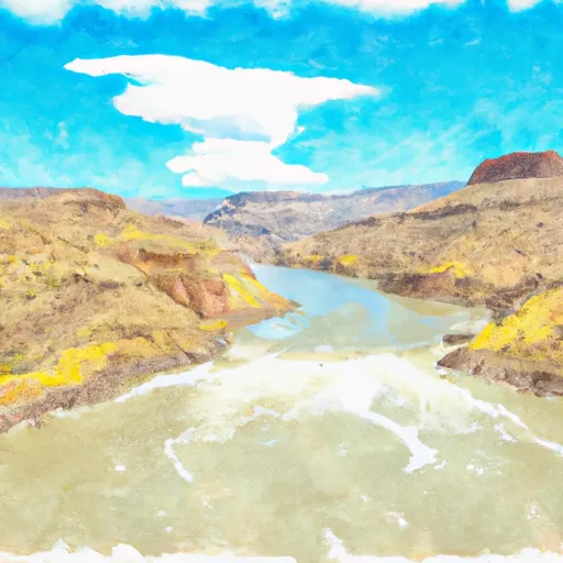
This boat ramp is a public access point that provides a launching area for boats into the Lake Fork of the Gunnison River.
According to the latest information available, the Silver Thread Scenic Byway boat ramp is a concrete ramp that is 60 feet wide. It can accommodate various types of watercraft, including boats, canoes, kayaks, and other small vessels. However, there is no information available about any specific restrictions or limitations on the types of craft permitted on the water.
The Lake Fork of the Gunnison River is a popular destination for fishing and boating enthusiasts in Colorado. It offers a wide range of recreational opportunities, including fishing for trout, kayaking, canoeing, and paddleboarding. The Silver Thread Scenic Byway boat ramp provides easy access to the water, making it a convenient launch point for visitors.
In summary, the Silver Thread Scenic Byway boat ramp in Gunnison County, Colorado, is a public access point that provides a 60-foot-wide concrete ramp for boats and other small watercraft. It services the Lake Fork of the Gunnison River and is a popular destination for fishing and recreational boating. There are no specific restrictions or limitations on the types of craft permitted on the water.
°F
°F
mph
Wind
%
Humidity
15-Day Weather Outlook
5-Day Hourly Forecast Detail
Area Streamflow Levels
| TOMICHI CREEK AT GUNNISON | 99cfs |
| GUNNISON RIVER NEAR GUNNISON | 168cfs |
| OHIO CREEK ABOVE MOUTH NR GUNNISON | 26cfs |
| LAKE FORK AT GATEVIEW | 100cfs |
| EAST RIVER AT ALMONT CO. | 83cfs |
| TAYLOR RIVER AT ALMONT | 120cfs |

 Silver Thread Scenic Byway Gunnison County
 Curecanti National Recreation Area Boundary To High Water Line Of Blue Mesa Reservoir