Summary
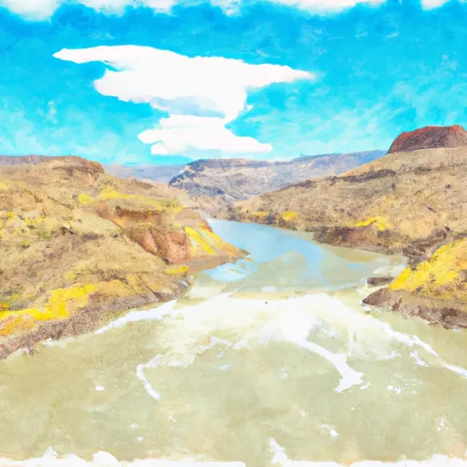
It is a concrete boat ramp that provides access to the water for boats and other watercraft. The ramp is approximately 30 feet wide, allowing for easy launching and loading of boats.
According to the latest information available, the Blue Mesa Reservoir is open to all types of watercraft, including motorized and non-motorized boats, jet skis, and kayaks. However, there are specific regulations regarding boating on the reservoir, such as speed limits and safety requirements. It is important for boaters to review these regulations before launching their craft.
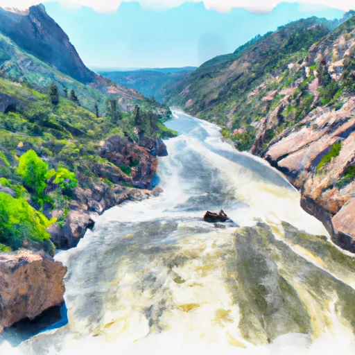
Overall, the Dillon Pinnacles Trail Gunnison County boat ramp provides convenient access to the Blue Mesa Reservoir for boaters and other water enthusiasts. Its location and width make it easy to launch and load boats, and the reservoir's regulations ensure a safe and enjoyable experience for all.
°F
°F
mph
Wind
%
Humidity
15-Day Weather Outlook
5-Day Hourly Forecast Detail
Area Streamflow Levels
| LAKE FORK AT GATEVIEW | 100cfs |
| CIMARRON RIVER BL SQUAW CREEK | 41cfs |
| GUNNISON RIVER NEAR GUNNISON | 168cfs |
| TOMICHI CREEK AT GUNNISON | 99cfs |
| OHIO CREEK ABOVE MOUTH NR GUNNISON | 26cfs |
| CIMARRON RIVER NEAR CIMARRON | 11cfs |

 Dillon Pinnacles Trail Gunnison County
 Curecanti National Recreation Area Boundary To High Water Line Of Blue Mesa Reservoir
 Curecanti National Recreation Area Boundary To High Water Line Of Morrow Point Reservoir