Summary
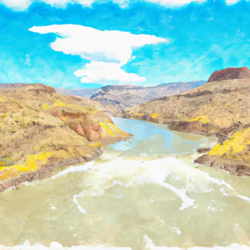
It services the Blue Mesa Reservoir, which is a large body of water located in Gunnison County. The reservoir is popular for boating, fishing, and water sports.
According to the Colorado Parks and Wildlife website, the Blue Mesa Reservoir allows a variety of watercraft, including motorized and non-motorized boats. Boats with gas or diesel engines are permitted, as well as boats with electric motors. There are also no horsepower restrictions on the reservoir, which means that boats of all sizes are permitted.
It's worth noting that the information provided is subject to change, and boaters are advised to check with local authorities for the most up-to-date information regarding regulations and usage of the boat ramp and Blue Mesa Reservoir.
°F
°F
mph
Wind
%
Humidity
15-Day Weather Outlook
5-Day Hourly Forecast Detail
Area Streamflow Levels
| LAKE FORK AT GATEVIEW | 100cfs |
| GUNNISON RIVER NEAR GUNNISON | 168cfs |
| TOMICHI CREEK AT GUNNISON | 99cfs |
| OHIO CREEK ABOVE MOUTH NR GUNNISON | 26cfs |
| CIMARRON RIVER BL SQUAW CREEK | 41cfs |
| EAST RIVER AT ALMONT CO. | 83cfs |

 US 50 Gunnison County
 Curecanti National Recreation Area Boundary To High Water Line Of Blue Mesa Reservoir