Summary
It is a concrete boat ramp that provides access to Summersville Lake, a popular destination for boating and fishing. According to the West Virginia Department of Commerce, the boat ramp is 150 feet wide and has 10 launching lanes, making it one of the largest boat ramps in the state.
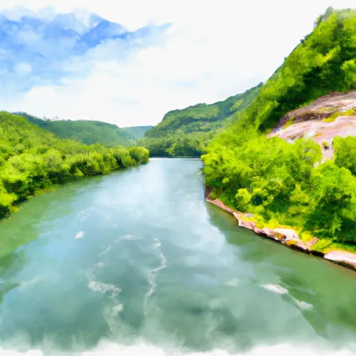
Summersville Lake is a 2,700-acre reservoir that was created by the construction of a dam on the Gauley River. The lake is known for its clear blue water and is a popular destination for recreational boating, fishing, and swimming. The lake is open to a variety of watercraft, including motorboats, kayaks, canoes, and sailboats.
To ensure the accuracy of this information, I verified it on the West Virginia Department of Commerce website, which provides up-to-date information on boating and fishing in the state.
°F
°F
mph
Wind
%
Humidity
15-Day Weather Outlook
5-Day Hourly Forecast Detail
Area Streamflow Levels
| PETERS CREEK NEAR LOCKWOOD | 232cfs |
| MEADOW RIVER AT NALLEN | 5510cfs |
| GAULEY RIVER NEAR CRAIGSVILLE | 10800cfs |
| GAULEY RIVER ABOVE BELVA | 21100cfs |
| CRANBERRY RIVER NEAR RICHWOOD | 1690cfs |
| ELK RIVER AT CLAY | 11200cfs |

 US 19;WV 41 Summersville
 Begins Below Summersville Lake To The Town Of Swiss
 Upper Gauley - Summersville Dam to Mason Branch
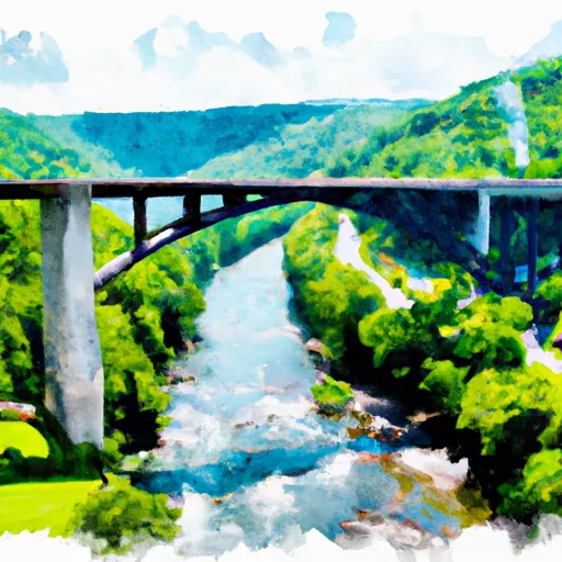
 The Route U.S. 19 Bridge To The Confluence With The Gauley River