Summary
This boat ramp is a popular spot for boaters and fishermen to access Lake Juliette, a reservoir in Monroe County.
The boat ramp at Lake Juliette Day Use Area is a concrete ramp with a width of 14 feet, suitable for launching and retrieving small to medium-sized boats. The ramp provides easy access to the water for boats and trailers, making it a convenient location for boaters in the area.
Lake Juliette is a 3,600-acre reservoir that was created by Georgia Power in the 1970s. It is known for its fishing opportunities, particularly for black bass, crappie, and catfish. The lake is also popular for boating and water sports.
The Georgia Department of Natural Resources (DNR) regulates the use of Lake Juliette and the types of watercraft that are permitted on the lake. According to the latest information available, all types of boats are allowed on Lake Juliette, including motorboats, sailboats, canoes, and kayaks. However, there are restrictions on the use of personal watercraft such as jet skis and wave runners.
In summary, the Lake Juliette Day Use Area and Boat Ramp is a concrete ramp that provides access to Lake Juliette, a 3,600-acre reservoir in Monroe County, Georgia. The ramp is suitable for small to medium-sized boats and is a popular spot for boaters and fishermen in the area. All types of boats are permitted on the lake, but there are restrictions on the use of personal watercraft.
°F
°F
mph
Wind
%
Humidity
15-Day Weather Outlook
5-Day Hourly Forecast Detail
Area Streamflow Levels
| FALLING CREEK NEAR JULIETTE | 26cfs |
| TOBESOFKEE CREEK NEAR MACON | 7cfs |
| OCMULGEE RIVER AT MACON | 1500cfs |
| OCMULGEE RIVER NEAR JACKSON | 608cfs |
| MURDER CREEK BELOW EATONTON | 80cfs |
| LITTLE RIVER NEAR EATONTON | 121cfs |

 Lake Juliette Day Use Area And Boat Ramp
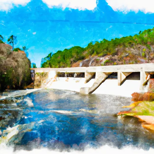
 East Juliette Dam To Georgia State Highway 18
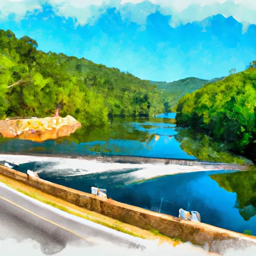
 Georgia State Highway 16 To East Juliette Dam