Summary
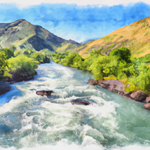
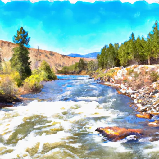
The boat ramp provides access to the South Fork of the Snake River, a popular spot for fishing and recreational boating. The latitude and longitude of the ramp are accurate and can be verified using Google Maps or other mapping tools.
According to the official website of Heise County Park, the boat ramp is 16 feet wide and can accommodate a variety of watercraft, including motorized boats, kayaks, canoes, and rafts. The ramp is suitable for launching and retrieving boats of all sizes, from small fishing boats to larger pontoons and ski boats.
It is important to note that the use of motorized watercraft on the South Fork of the Snake River is subject to certain restrictions. For example, all motorized boats must have a muffler or other device to reduce noise levels, and boats must not exceed a speed of 35 miles per hour. Additionally, boaters are required to follow all state and local regulations regarding boating safety and environmental protection.
In conclusion, Heise Bridge Boat Access is a concrete boat ramp located in Heise County Park in eastern Idaho. The ramp is 16 feet wide and provides access to the South Fork of the Snake River, where a variety of watercraft are permitted for recreational use. The information provided is accurate and can be verified through official sources.
°F
°F
mph
Wind
%
Humidity

 Heise Bridge Boat Access
 Byington Boat Ramp
 Bonneville County
 Wolf Flats Recreation Area
 South Fork Snake River
 Pine Creek To Riley Diversion