Summary
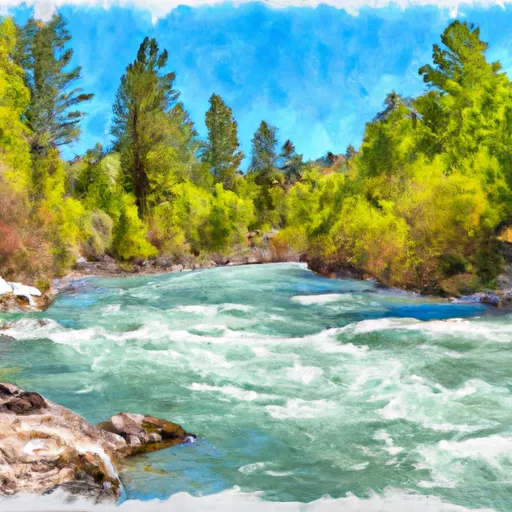
It is approximately 14 feet wide, which is wide enough to accommodate most small to medium-sized boats. This boat ramp services the Salmon River, a popular river for fishing, kayaking, and rafting. The Salmon River is approximately 425 miles long and is known for its scenic beauty and challenging whitewater rapids.
As for the types of craft permitted on the water, the Salmon River is open to a variety of watercraft, including rafts, kayaks, canoes, and motorized boats. However, it is important to note that certain sections of the river may be more suitable for certain types of craft, depending on water levels, rapids, and other factors. It is recommended that visitors check with local authorities and outfitters to determine the best type of craft for their planned activities.
In summary, the US 93 Lemhi County boat ramp in Idaho is a concrete boat ramp approximately 14 feet wide, serving the Salmon River. Visitors can enjoy a variety of watercraft on the river, including rafts, kayaks, canoes, and motorized boats.

 US 93 Lemhi County
 Salmon to North Fork
 Nf Boundary At 4Th Of July Creek To Confluence With North Fork