2026-02-18T14:00:00-07:00
* WHAT...Snow expected. There is a likelihood of minor winter weather impacts. Total snow accumulations between 1 and 3 inches. * WHERE...Elk City, Highway 12 Lowell to Lolo Pass, and Dixie. * WHEN...From 11 PM this evening to 1 PM PST Wednesday. * IMPACTS...Winter traveling conditions. For MINOR winter weather impacts, expect a few inconveniences to normal activities. Use caution while driving. The hazardous conditions could impact the Wednesday morning commute, especially over higher passes.
Summary
The ideal streamflow range for this river is between 500-1500 cfs, making it a great spot for intermediate and expert level kayakers and rafters. The class rating for this river varies from Class III to Class V, with the most challenging sections being the upper and lower gorge, which feature steep drops and powerful rapids.
The segment mileage of Lake Creek is approximately 9 miles, with the upper gorge spanning 1.5 miles, the lower gorge spanning 2 miles, and the middle section spanning 5.5 miles. Some of the most notable rapids on this river include S-Turn, Black Hole, and The Notch, which can be challenging even for experienced paddlers.
Specific regulations for Lake Creek include obtaining a permit for commercial outfitters, as well as adhering to Leave No Trace principles and avoiding disturbing sensitive wildlife in the area. Additionally, it is important for paddlers to be aware of private land ownership in the vicinity of the river and to respect any posted signs or boundaries.
°F
°F
mph
Wind
%
Humidity
15-Day Weather Outlook
River Run Details
| Last Updated | 2025-06-28 |
| River Levels | 2020 cfs (5.64 ft) |
| Percent of Normal | 48% |
| Status | |
| Class Level | iii-v |
| Elevation | ft |
| Streamflow Discharge | cfs |
| Gauge Height | ft |
| Reporting Streamgage | USGS 13316500 |
5-Day Hourly Forecast Detail
Nearby Streamflow Levels
Area Campgrounds
| Location | Reservations | Toilets |
|---|---|---|
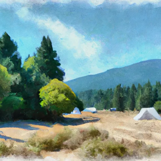 Witsher Creek Campsite
|
||
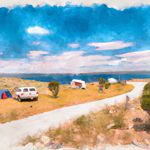 Bullion Beach Campsite
|
||
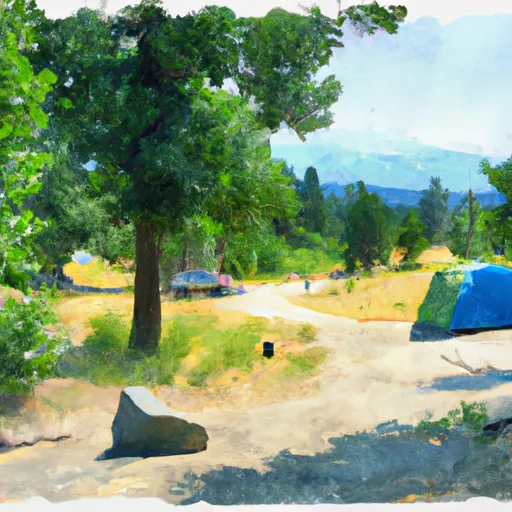 Cherry Creek Campsite
|
||
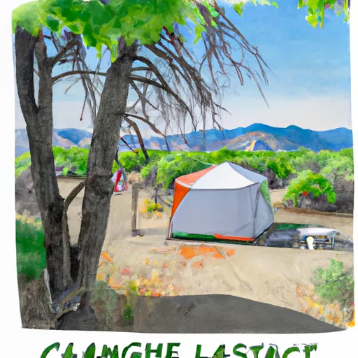 Last Chance Campsite
|
||
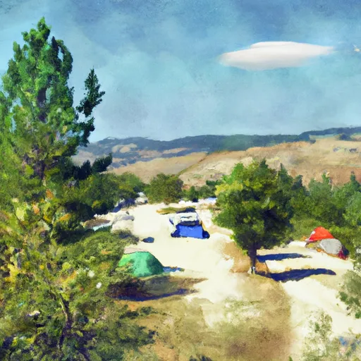 Desperation Bar Campsite
|
||
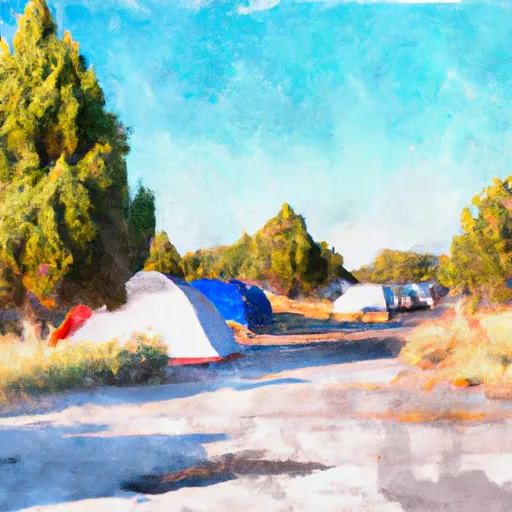 Jeanette
|


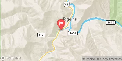
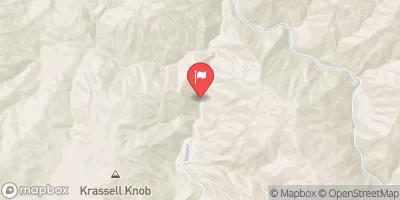
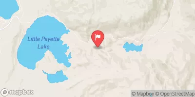
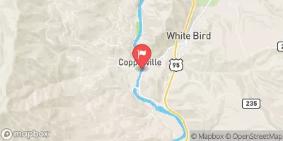
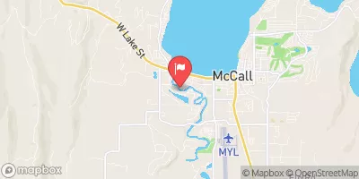
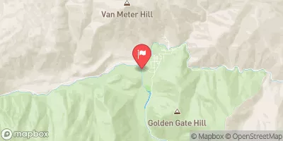
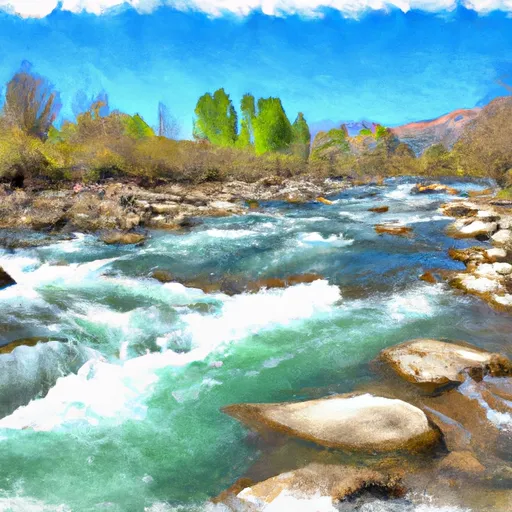 Lake Creek
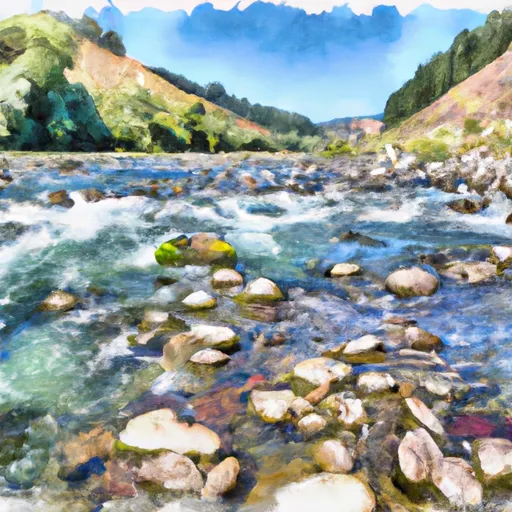 Salmon River
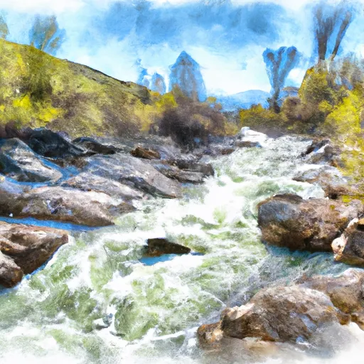 French Creek
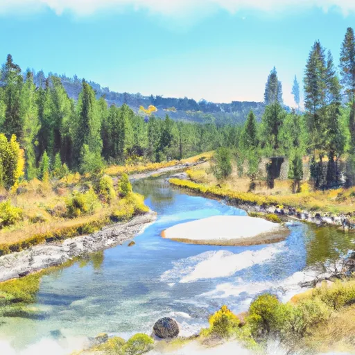 Payette Nf Boundary On Lake Creek (Just West Marshall Lake) To To And Including Chinook Campground