United States Iowa

Mississippi River -- Wyalusing State Park Boat Access
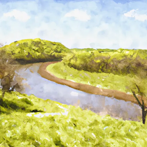
The boat ramp named Mississippi River -- Wyalusing State Park Boat Access is a concrete boat ramp located in Wyalusing State Park in Iowa. It is approximately 24 feet wide and services the Mississippi River, which is one of the largest rivers in North America and spans 2,320 miles from its source in Minnesota to its outlet in the Gulf of Mexico. The ramp is open to all kinds of watercraft, including motorized boats, canoes, kayaks, and other types of small watercrafts.

According to the latest information available, the boat ramp is in good condition and is well-maintained by the state park authorities. The park offers ample parking space for trailers and vehicles, and there are restrooms and picnic areas nearby for visitors to enjoy. The park is a popular destination for fishing, boating, and other water-based recreational activities.

In summary, Mississippi River -- Wyalusing State Park Boat Access is a well-maintained concrete boat ramp that services the Mississippi River in Iowa. It is approximately 24 feet wide and is open to all types of watercraft. Visitors to the park can enjoy a variety of recreational activities, including fishing, boating, and picnicking. Get driving directions.
MISSISSIPPI RIVER -- WYALUSING STATE PARK BOAT ACCESS

STREAMFLOW LEVELS
Streamgauge Streamflow
Current River At Doniphan
USGS 07068000
6,660 cfs
Little Black River Below Fairdealing
USGS 07068510
179 cfs
St. Francis River Near Patterson
USGS 07037500
2,100 cfs
Black River Near Annapolis
USGS 07061500
1,420 cfs
Jacks Fork At Eminence
USGS 07066000
911 cfs
Jacks Fork At Alley Spring
USGS 07065495
550 cfs
Logan Creek At Ellington
USGS 07061900
13 cfs

Nearby Camping
Location Campsites Reservations Toilets Showers Elevation
Eckbeck ? Finland State Forest 31 1,065 ft
Big Spring - Ozark National Scenic River 123 727 ft
Sutton Bluff 45 820 ft
Loggers Lake 29 1,160 ft
Snively Access 30 656 ft
Riverside Memorial Park Numerous 844 ft
Hazel Creek Numerous 846 ft
Roberts Field Numerous 561 ft
Powder Mill - Ozark National Scenic River 8 561 ft
New Wine County Park 55 1,002 ft
Tettegouche State Park 30 872 ft
Welter Recreation Park Numerous 555 ft
Flaming Prairie Park 24 541 ft
Coon Fork Lake Numerous 990 ft
Ninemile Lake 24 1,644 ft
Sugar Creek City Campground Numerous 618 ft
Carthage City Park Numerous 666 ft
Big Hollow Creek Park 48 734 ft
Central Park 100 978 ft
Lower Augusta Skunk River Access Numerous 555 ft
Onondaga Cave State Park Numerous 791 ft
Finland - Finland State Forest 39 1,314 ft
Veterans Memorial Park - West Salem 110 689 ft
Berryman 19 1,009 ft
Dawson Trail - Chippewa - Quetico Provincial Park 22 1,350 ft
Namekagon 34 1,453 ft
Red Bluff 109 821 ft
Dupont Reservation Conservation Area - MDC 20 460 ft
Pictured Rocks Co Park Numerous 885 ft
Harstad Park 27 930 ft
Bruce Village Park Numerous 1,104 ft
Cappy Russell Access Dispersed Numerous 554 ft
Ferry Landing 50 604 ft
Town of Clover Numerous 607 ft
Kawishiwi Lake 5 1,660 ft
Yellow River State Forest 150 645 ft
Meramec State Park Numerous 613 ft
George Crosby - Manitou State Park 20 1,431 ft
Saulsbury Bridge 35 614 ft
Wapello Fairgrounds Park Numerous 587 ft
Blanchard Island - Mississippi River 35 556 ft
Two Rivers - Ozark National Scenic River Numerous 608 ft
Owls Bend - Powder Mill Numerous 556 ft
Blackhawk Park - DeSoto 150 630 ft
Watercress 114 523 ft
Harriet Lake 13 1,766 ft
Dawson Trail - Ojibwa - Quetico Provincial Park 85 1,355 ft
Two Lakes 90 1,412 ft