Summary
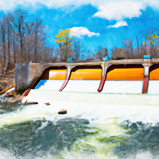
However, the closest water body to its location is the Hardy Dam Pond, which is a popular spot for boating and fishing in the area.
The width of the boat ramp is not specified in the available information. However, it is safe to assume that it is wide enough to accommodate various types of watercraft. The Sheridan Twp Boat Ramp is open to the public and does not require a fee for its use.
As for the type of watercraft permitted on the water, it is likely that motorized and non-motorized boats are allowed. However, it is essential to check the local regulations and restrictions before launching any watercraft.
It is worth noting that the accuracy of the information provided may vary depending on the source. Therefore, it is recommended to verify the latest information available with the local authorities or reliable sources before planning any boating activities.
°F
°F
mph
Wind
%
Humidity
15-Day Weather Outlook
5-Day Hourly Forecast Detail
Area Streamflow Levels
| WHITE RIVER NEAR WHITEHALL | 390cfs |
| MUSKEGON RIVER NEAR CROTON | 1090cfs |
| BEAR CREEK NEAR MUSKEGON | 25cfs |
| LITTLE MUSKEGON RIVER NEAR OAK GROVE | 509cfs |
| ROGUE RIVER NEAR ROCKFORD | 252cfs |
| GRAND RIVER AT GRAND RAPIDS | 2390cfs |

 Sheridan Twp Boat Ramp
 Croton Dam In T12N, R11W To City Of Newaygo In T12N, R12W
 South Branch From Forest Boundary East Of Hesperia At West Section Line Of Sec 22, T14N, R14W To Echo Drive In Sec 6, T13N, R12W
 North Branch From Its Confluence With South Branch In Sec 22, T13N, R16 W To Mclaren Lake In Sec 11, T14N, R15W