Summary
This boat ramp services the Kootenai River, which flows through northwest Montana and parts of British Columbia and Idaho. The Kootenai River is known for its fishing opportunities, with species such as rainbow trout, bull trout, and northern pike available to catch.
The US 2 Lincoln County boat ramp is suitable for launching small to medium-sized watercraft, such as canoes, kayaks, and motorized boats. However, it may not be suitable for larger boats, as the ramp is relatively narrow and may not accommodate larger trailers. It's important to note that water levels on the Kootenai River can vary depending on the time of year and weather conditions, so boaters should exercise caution when launching and navigating the river.
In summary, the US 2 Lincoln County boat ramp is a concrete boat ramp that services the Kootenai River in Montana. It's approximately 20 feet wide and suitable for launching small to medium-sized watercraft. Anglers can enjoy fishing for rainbow trout, bull trout, and northern pike in the Kootenai River.
Nearby Boat Launches
Weather Forecast
Area Streamflow Levels
| YAAK RIVER NEAR TROY MT | 911cfs |
| KOOTENAI RIVER AT LEONIA ID | 24200cfs |
| KOOTENAI RIVER BEL MOYIE RIVER NR BONNERS FERRY ID | 24500cfs |
| KOOTENAI RIVER @ TRIBAL HATCHERY NR BONNERS FERRY | 15700cfs |
| PACK RIVER NR COLBURN ID | 610cfs |
| LIGHTNING CREEK AT CLARK FORK ID | 417cfs |
River Runs
-
 Yaak Falls, Sec. 4, T33N, R33W To Downstream To Bpa Powerline, 6 Miles West Of Troy
-
 10 Miles From Surprise Gulch To A Mile Below Kootenai Vista Estates To 10 Miles From Surprise Gulch To A Mile Below Kootenai Vista Estates
-
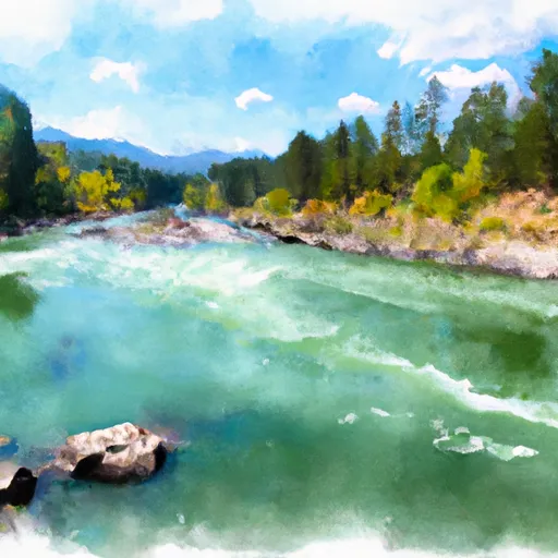 Kootenai River
-
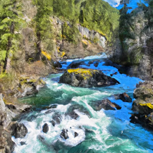 Headwaters, East And North Fork Of The Yaak River To Yaak Falls, Sec. 4, T33N, R33W
-
 From The Headwaters Of The West Fork Of Quartz Creek Downstream For Three Miles To The Boundary Of The Flagstaff Mountain Inventoried Roadless Area #690 To

 US 2 Lincoln County