Summary
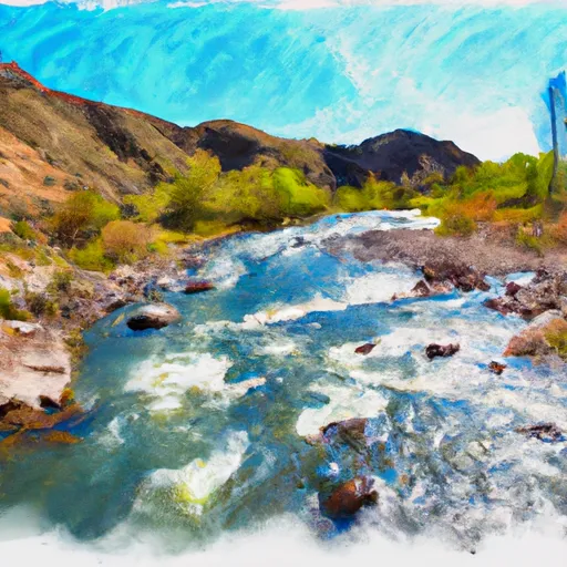
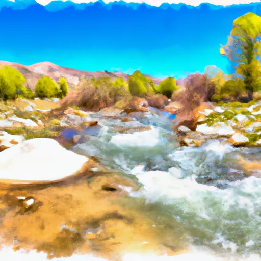
It is a single-lane boat ramp, approximately 20 feet wide and 100 feet long. The boat ramp provides access to the Jarbidge River, a scenic waterway that runs through the remote Jarbidge Wilderness Area in northern Nevada.
The Jarbidge River is a popular destination for anglers, as it is home to a variety of fish species including rainbow, brown, and brook trout. The river is also suitable for non-motorized watercraft such as kayaks, canoes, and rafts. However, motorized boats are not allowed on the river, as it is too narrow and shallow for safe navigation.
The latest information available from the Nevada Department of Wildlife confirms that the Jarbidge River Launch Site is functional and open to the public. Visitors are advised to check weather conditions and water levels before attempting to launch their watercraft, as the river can be subject to flash flooding during heavy rain events. Additionally, visitors should be aware that the Jarbidge Wilderness Area is a remote and rugged wilderness, and should come prepared with appropriate gear and supplies for their trip.
°F
°F
mph
Wind
%
Humidity

 Jarbidge River Launch Site
 Murphy to Bruneau
 East Fork Jarbidge River
 Dave Creek