United States New-Mexico

Taos Junction Bridge Taos County

The Taos Junction Bridge boat ramp is located in Taos County, New Mexico at latitude 36.33586884 and longitude -105.73366547. This boat ramp is a concrete ramp that allows for easy launch and retrieval of boats. It is also wide enough to accommodate multiple boats at the same time, making it a popular spot for fishing and recreational boating.

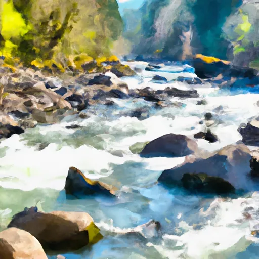
The boat ramp services the Rio Grande River, which runs through Taos County. This river is popular for fishing, kayaking, and rafting. The Taos Junction Bridge boat ramp is specifically located at the confluence of the Rio Pueblo de Taos and the Rio Grande, which creates a unique experience for boaters and anglers.

According to the latest information available, the Taos Junction Bridge boat ramp is open year-round and allows for a variety of watercraft to be launched. This includes motorized and non-motorized boats, such as canoes, kayaks, and rafts. However, it is important to note that there are seasonal restrictions on certain sections of the Rio Grande River for certain types of watercraft, so it is important to check with local authorities before launching.

In summary, the Taos Junction Bridge boat ramp is a concrete boat ramp located in Taos County, New Mexico that services the Rio Grande River. It is wide enough to accommodate multiple boats at the same time and is open year-round for a variety of watercraft, including motorized and non-motorized boats. Get driving directions.
TAOS JUNCTION BRIDGE TAOS COUNTY

STREAMFLOW LEVELS
Streamgauge Streamflow
Rio Nambe Below Nambe Falls Dam Near Nambe
USGS 08294210
20 cfs
Coyote Creek Near Golondrinas
USGS 07218000
3 cfs
Rio Nambe Above Nambe Falls Dam Near Nambe
USGS 08294195
36 cfs
Rio Grande Del Rancho Near Talpa
USGS 08275500
58 cfs
Rio Grande At Otowi Bridge
USGS 08313000
2,530 cfs
Rio Chama Below Abiquiu Dam
USGS 08287000
1,160 cfs
Mora River Near Golondrinas
USGS 07216500
47 cfs

Nearby Camping
Location Campsites Reservations Toilets Showers Elevation
El Aguaje - Wild Rivers Rec Area Numerous 7,467 ft
Big Arsenic Springs - Wild Rivers Rec Area Numerous 7,516 ft
Cowles 9 8,216 ft
Montoso - Wild Rivers Rec Area Numerous 7,500 ft
Little Arsenic Springs Numerous 7,498 ft
Iron Gate 14 9,410 ft
Borrego Mesa 9 8,719 ft
La Junta - Wild Rivers Rec Area Numerous 7,465 ft
Comales 10 7,968 ft
Hodges 14 8,453 ft
Taos Junction Numerous 6,071 ft
Santa Barbara 22 8,842 ft
Jacks Creek 40 8,894 ft
Panchuela 6 8,330 ft
Orilla Verde Rec Area Numerous 6,049 ft
Cebolla Mesa 5 7,372 ft