Summary
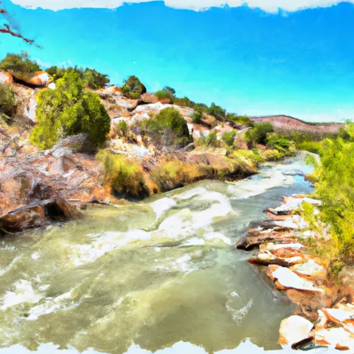
It is approximately 30 feet wide and provides access to the Rio Grande River. The ramp is suitable for small to medium-sized watercraft, including canoes, kayaks, and motorized boats.
According to the latest information available, the Taos Junction Bridge Boat Launch is open year-round and does not have any fees or permits required for use. The river it services is popular for water-based recreational activities such as fishing, paddling, and tubing.
It is important to note that river conditions can change rapidly, especially during periods of heavy rainfall or snowmelt. Visitors are encouraged to check local weather and river conditions before planning a trip to the Taos Junction Bridge Boat Launch.
°F
°F
mph
Wind
%
Humidity

 Taos Junction Bridge Boat Launch
 Taos Junction Bridge Boat Takeout
 Taos Junction Bridge Taos County
 Lone Juniper Boat Launch
 Lone Juniper Boat Takeout
 Rio Pueblo De Taos
 Arroyo Hondo
 Pilar/Race Course
 Serna Land Grant Boundary To Nf Boundary
 Headwaters To Nf Boundary