2026-02-20T04:00:00-08:00
...A SERIES OF WEAK SYSTEMS WILL BRING WIDESPREAD SNOW TO THE NORTHERN OREGON AND SOUTHERN WASHINGTON COAST AND CASCADE RANGES THROUGH AT LEAST THURSDAY NIGHT... .A broad area of low pressure will continue to bring widespread snow showers to elevations above 1500 ft through at least Thursday night. Give the showery nature of the precipitation and uncertainty as to the exact track of the Wednesday night system, there is some variability in forecast total snow fall accumulations through Thursday night. While the forecast remains on track for overall snowfall totals, where exactly the highest accumulations remain in flux. * WHAT...Snow. Additional snow accumulations of 2 to 7 inches through Wednesday night and another 1 to 3 inches of snow Thursday morning through Thursday night. * WHERE...Foothills of the Northern and Central Oregon Cascades, North and Central Coast Range Mountains of Oregon, Willapa Hills, and South Washington Cascade Foothills. * WHEN...Until 4 AM PST Friday. * IMPACTS...Roads, and especially bridges and overpasses, will likely become slick and hazardous.
Summary
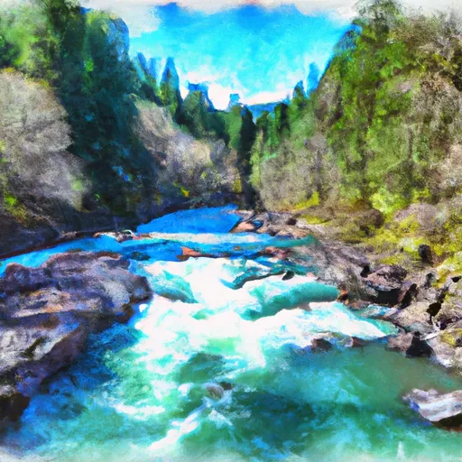
The ideal streamflow range for this river is between 500 and 2000 cubic feet per second (cfs), with peak flows occurring in the early spring. The river is rated as Class III to IV, with some technical rapids and small drops.
The segment mileage for the South Fork Trask River run is approximately 6 miles, starting at the Elk Creek Campground and ending at Trask Hatchery. Along the way, paddlers will encounter several notable rapids, including Big Daddy, Squeeze Play, and Pinball. There are also several tight turns and boulder gardens that require precise maneuvering.
There are specific regulations to the area that paddlers must follow, including obtaining a permit from the Oregon Department of Fish and Wildlife before launching. Additionally, boaters must carry all necessary safety equipment, including personal flotation devices and a first aid kit. It is also important to be aware of private property boundaries and to respect local wildlife.
Overall, the South Fork Trask River is a challenging and exciting whitewater run that offers a unique adventure for experienced boaters. It is important to plan carefully and follow all regulations to ensure a safe and enjoyable experience on the river.
°F
°F
mph
Wind
%
Humidity
15-Day Weather Outlook
River Run Details
| Last Updated | 2025-06-28 |
| River Levels | 2 cfs (10.56 ft) |
| Percent of Normal | 50% |
| Status | |
| Class Level | iii |
| Elevation | ft |
| Streamflow Discharge | cfs |
| Gauge Height | ft |
| Reporting Streamgage | USGS 14303200 |
5-Day Hourly Forecast Detail
Nearby Streamflow Levels
 Tucca Creek Near Blaine
|
15cfs |
 Trask River Above Cedar Creek
|
790cfs |
 Wilson River Near Tillamook
|
779cfs |
 Nestucca River Near Beaver
|
963cfs |
 South Yamhill River At Mcminnville
|
1660cfs |
 Nehalem River Near Foss
|
1670cfs |
Area Campgrounds
| Location | Reservations | Toilets |
|---|---|---|
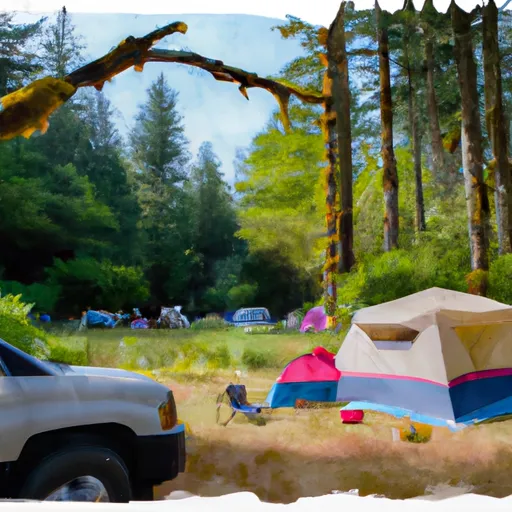 Alder Glen Campground
|
||
 Elk Bend Campground
|
||
 Rocky Bend Group Campground
|
||
 Rocky Bend
|
||
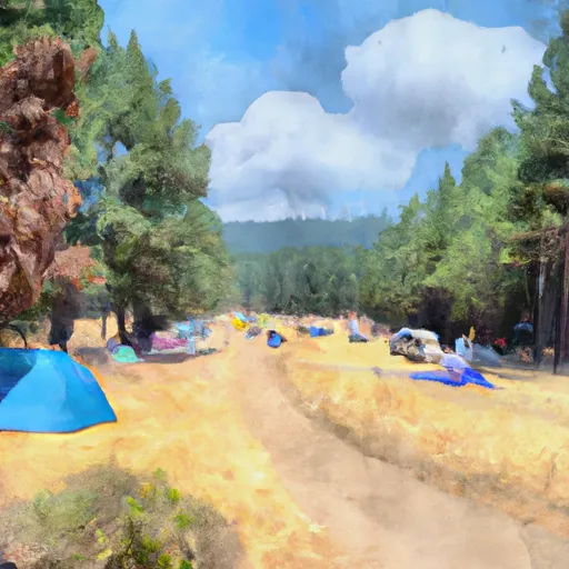 Rocky Bend Campground
|
||
 Fan Creek Campground
|


 Stones Road
 South Fork Trask River
 Rm 26 To Rm 32 Confluence With Wsr
 Trask River
 Nestucca River Seg B
 Rm 15 To Rm 26 (Above Confluence Of Limestone Creek)
 County Boudary (Confluence With Wsr) To Rm 47 (Lower End Mcguire Reservoir)