2026-02-19T10:00:00-08:00
* WHAT...Snow expected. Additional snow accumulations 4 to 8 inches over the Cascade Foothills, except 8 to 16 inches in the mountains. Winds gusting as high as 35 mph over high and exposed terrain. * WHERE...The southern Oregon Cascades and Siskiyou Mountains, and Eastern Douglas County Foothills. Including the locations of...Toketee Falls, Steamboat, Crescent Lake, Diamond Lake, Union Creek, Howard Prairie. This also includes the following passes or notable locations... Siskiyou Pass on I-5 at 4310 ft. Lake of the Woods on 140 at 5070 ft. Diamond Lake Junction on state highways 230 & 138 at 4478 ft. Mt. Ashland ski road and lodge at 6500 ft. Caves National Monument near highway 46 at 4000 ft. Willamette Pass on state highway 58 at 5090 ft. * WHEN...Until 10 AM PST Thursday. * IMPACTS...Travel may be difficult and there may be delays in your commute. The hazardous conditions could impact the evening and morning commutes. * ADDITIONAL DETAILS...Snow will be lighter tonight into Wednesday, then increase again Wednesday night into Thursday. Visit weather.gov/mfr/winter for additional snow probabilities
Summary
The ideal streamflow range for the river is generally between 700 and 2,000 cubic feet per second (cfs). The river is rated as a class III to class IV in difficulty, making it suitable for intermediate to advanced paddlers.
The river has a total distance of 29 miles, with the whitewater section being approximately 8 miles long. The rapids on the Applegate River are known for their technical nature and include obstacles such as boulder gardens and drops.
There are specific regulations in place for the Applegate River. All boaters are required to have a valid permit during the peak season (May 15 through September 15). There is also a limit on the number of permits issued per day to help preserve the natural environment. Additionally, boaters are required to follow Leave No Trace principles to minimize their impact on the ecosystem.
In summary, the Applegate River offers a challenging whitewater experience for intermediate to advanced paddlers. The ideal streamflow range is between 700 and 2,000 cfs, and the river is rated as a class III to class IV. Specific regulations are in place, including a permit requirement and a limit on the number of permits issued per day.
°F
°F
mph
Wind
%
Humidity
15-Day Weather Outlook
River Run Details
| Last Updated | 2025-06-28 |
| River Levels | 452 cfs (2.4 ft) |
| Percent of Normal | 108% |
| Status | |
| Class Level | iii-iv |
| Elevation | ft |
| Streamflow Discharge | cfs |
| Gauge Height | ft |
| Reporting Streamgage | USGS 14362000 |
5-Day Hourly Forecast Detail
Nearby Streamflow Levels
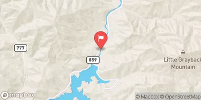 Applegate River Near Copper
|
175cfs |
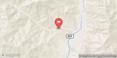 Star Gulch Near Ruch
|
1cfs |
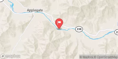 Applegate River Near Applegate
|
211cfs |
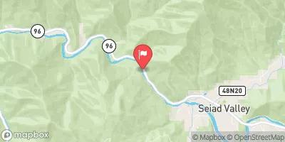 Klamath R Nr Seiad Valley Ca
|
2090cfs |
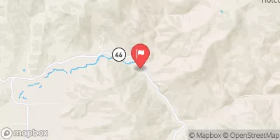 Sucker Cr Bl Lt Grayback Cr Nr Holland
|
100cfs |
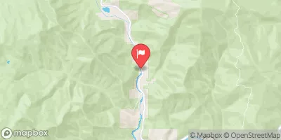 Indian C Nr Happy Camp Ca
|
227cfs |
Area Campgrounds
| Location | Reservations | Toilets |
|---|---|---|
 Hart-Tish Park - Applegate Lake
|
||
 Hart-tish Campground
|
||
 Tipsu Tyee
|
||
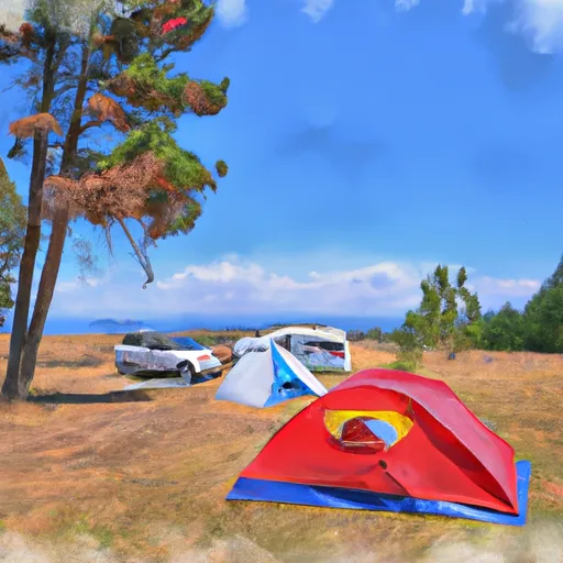 Harr Point Campground
|
||
 Tipsu Tyee Campground
|
||
 Harr Point
|


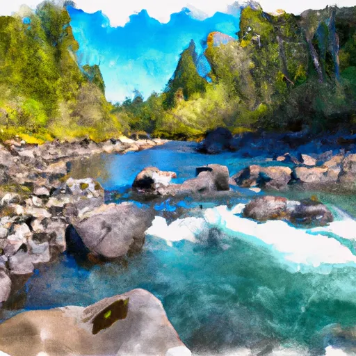 Applegate River