Summary
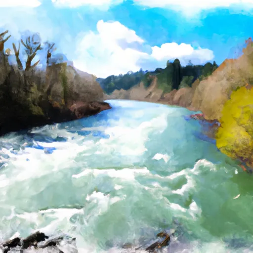
The ramp is a concrete structure and is approximately 20 feet wide, providing ample space for launching and retrieving boats. The ramp is also equipped with a dock for loading and unloading passengers and supplies.
According to the Oregon State Marine Board, the Willamette River is navigable by a wide range of watercraft, including motorized boats, sailboats, kayaks, and canoes. However, certain sections of the river may have restrictions on the type of watercraft allowed, so it is important to check local regulations before launching.
In addition to providing access to the Willamette River, Irish Bend boat ramp also offers ample parking for vehicles and boat trailers. The area is popular for fishing, waterfowl hunting, and boating.
Overall, Irish Bend boat ramp is a well-maintained and well-equipped facility that provides easy access to the Willamette River for a variety of watercraft.
°F
°F
mph
Wind
%
Humidity
15-Day Weather Outlook
Nearby Boat Launches
5-Day Hourly Forecast Detail
Area Streamflow Levels
| LONG TOM RIVER AT MONROE | 294cfs |
| WILLAMETTE RIVER AT HARRISBURG | 7610cfs |
| MARYS RIVER NEAR PHILOMATH | 296cfs |
| WILLAMETTE RIVER AT CORVALLIS | 10300cfs |
| LONG TOM RIVER NEAR ALVADORE | 40cfs |
| MCKENZIE RIVER NEAR COBURG | 4730cfs |

 Irish Bend
 Willamette River