Summary
The boat ramp is approximately 16 feet wide and has a gentle slope, which makes it easy to launch boats.
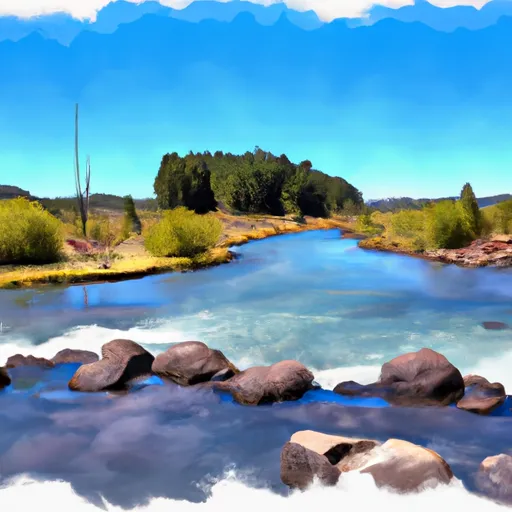
The North Davis Boating Site provides access to the North Davis Lake, which is an approximately 120-acre man-made lake located in Deschutes County, Oregon. The lake was constructed in 1963 and is maintained by the Oregon Department of Fish and Wildlife. It is a popular spot for fishing and boating, especially during the summer months.
North Davis Boating Site is suitable for small boats such as canoes, kayaks, and small fishing boats. However, there are size restrictions on the lake to protect the quality of the fishing experience. Gasoline-powered boats are not allowed on the lake, but electric motors are permitted.
The latest information available confirms that the North Davis Boating Site is open for public use and visitors can access the site year-round. However, visitors are advised to check the Oregon Department of Fish and Wildlife website for any updates or changes in regulations before visiting the site.
°F
°F
mph
Wind
%
Humidity

 North Davis Boating Site
 Springs Sec 30, T21S, R8E To Wickiup Reservoir
 Wickiup Dam to Pringle Falls Campground
 Little Lava Lake To Crane Prairie Reservoir
 Pringle Falls to Big River Campground