Summary
However, there is a Sunset Campground located in the Umpqua National Forest in central Oregon that offers a boat ramp for recreational use.
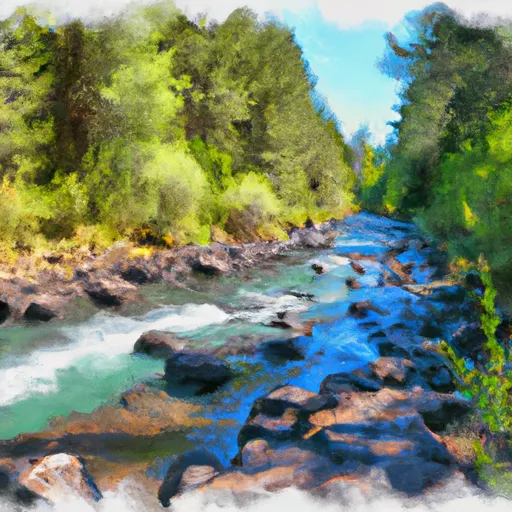
The boat ramp at Sunset Campground is a concrete ramp that provides access to the North Umpqua River. According to the U.S. Forest Service, the boat ramp is 12 feet wide and suitable for launching small boats and rafts. The North Umpqua River is a popular destination for fishing, kayaking, and rafting, and the body of water serviced by the boat ramp is designated as a Wild and Scenic River.
In terms of permitted watercraft, the U.S. Forest Service specifies that the boat ramp is suitable for non-motorized and electric-powered boats. However, it is always important to verify the latest regulations and restrictions with local authorities before launching any type of watercraft.
°F
°F
mph
Wind
%
Humidity

 Sunset Campground
 South Fork Little Butte Creek