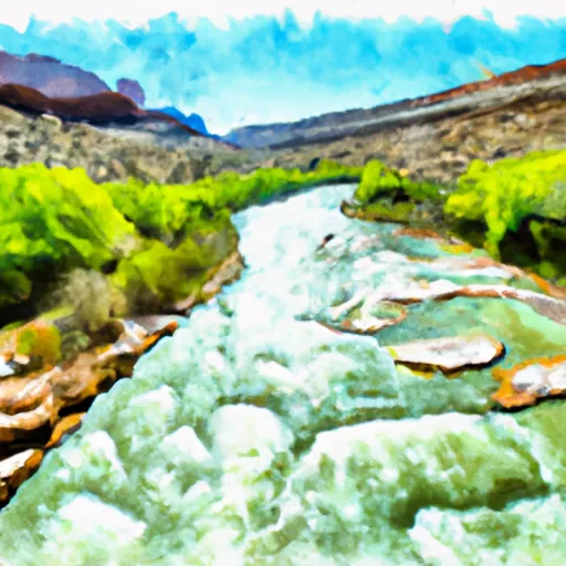
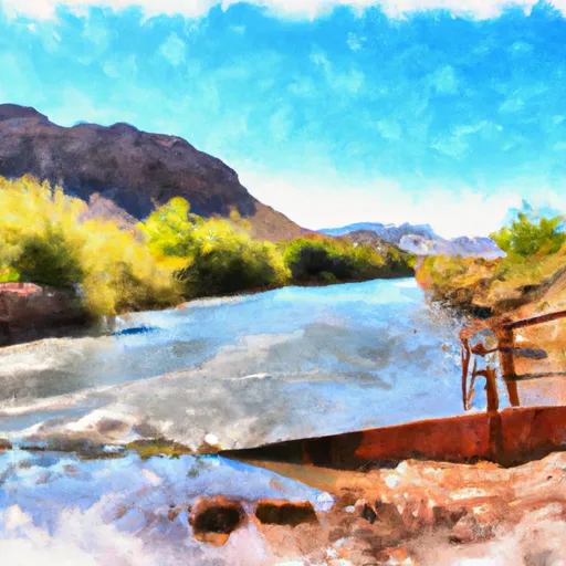
Summary
It is located at latitude 40.90249687000005 and longitude -109.14910219599994.
This boat ramp services the Flaming Gorge Reservoir, which is a popular destination for boating and fishing enthusiasts. The reservoir is 91 miles long and has over 360 miles of shoreline, making it a great place for all kinds of watercraft.
According to the latest information available, all types of watercraft are permitted on the Flaming Gorge Reservoir, including motorized and non-motorized boats, kayaks, canoes, and paddleboards. However, certain areas of the reservoir may have specific regulations or restrictions, so it is always important to double-check with local authorities before launching any watercraft.
Overall, the Bridgeport Boat Ramp is a well-maintained and accessible boat launch that provides boaters with easy access to the beautiful Flaming Gorge Reservoir.
°F
°F
mph
Wind
%
Humidity
15-Day Weather Outlook
5-Day Hourly Forecast Detail
Area Streamflow Levels
| GREEN RIVER NEAR GREENDALE | 841cfs |
| BIG BRUSH CREEK ABV RED FLEET RES | 8cfs |
| HENRYS FORK NEAR MANILA | 49cfs |
| ASHLEY CR ABV SP NR VERNAL UT | 4cfs |
| ASHLEY CREEK NEAR VERNAL | 18cfs |
| GREEN RIVER NEAR JENSEN | 1370cfs |

 Bridgeport Boat Ramp
 Pond Canal Road Daggett County
 Indian Crossing Boat Ramp
 Swallow Canyon Boat Ramp
 Upper Green River
 C Section
 The Bureau Of Land Management Boat Ramp At Indian Crossing To Gates Of Lodore