Summary
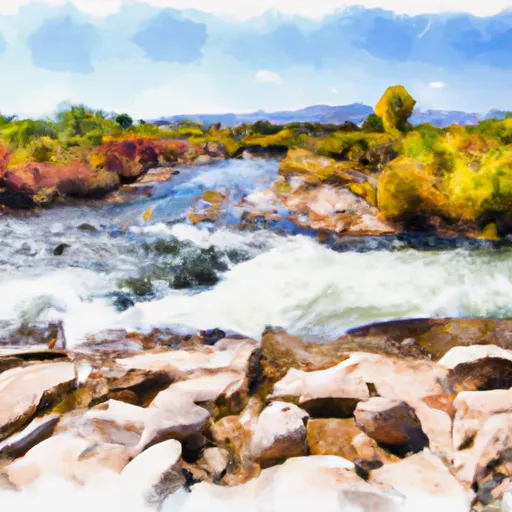
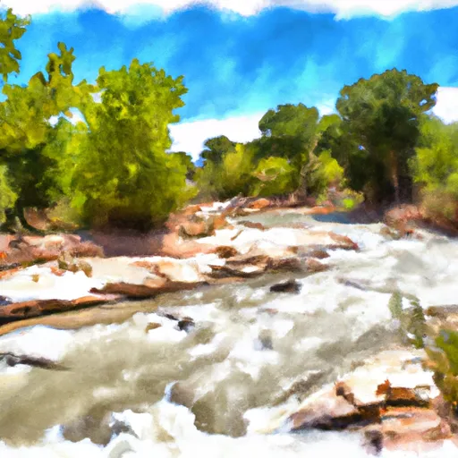
It is approximately 20 feet wide, which is wide enough to accommodate most boats. This boat ramp services the Colorado River, which is a popular destination for boating enthusiasts. The Colorado River is a large, fast-moving river that is known for its rapids and scenic beauty. The Rocky Rapid River Access boat ramp is designed to allow easy access to the river for a variety of watercraft, including motorboats, kayaks, canoes, and rafts. The latest information available confirms that the Rocky Rapid River Access boat ramp is a well-maintained and popular destination for boaters in Utah and beyond.
°F
°F
mph
Wind
%
Humidity

 Rocky Rapid River Access
 Grand County
 Lower Onion Creek Boat Ramp
 Unknown
 Onion Creek