Summary
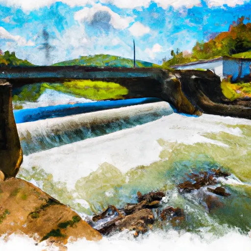
The route begins at the Route 42 Bridge and ends at the confluence with the Jackson River. This section of the river is approximately 5.5 miles long and is rated as a Class II-III.
The ideal streamflow range for this segment is between 300-1000 cfs. At lower levels, the rapids can become bony and technical, while at higher levels, the river can become swift and powerful. It is important to check the current water levels and weather conditions before planning a trip down this section of the river.
Some of the notable rapids and obstacles on this segment include “You First”, “Sliding Board”, and “Pinball”. These rapids offer a mix of technical maneuvering and fun waves, making them a favorite among experienced paddlers.
There are specific regulations in place for this area, including a requirement for all paddlers to wear a personal flotation device (PFD) and a helmet. Additionally, it is important to respect private property rights along the river and to avoid littering or disturbing wildlife.
°F
°F
mph
Wind
%
Humidity
15-Day Weather Outlook
River Run Details
| Last Updated | 2026-02-07 |
| River Levels | 476 cfs (2.01 ft) |
| Percent of Normal | 14% |
| Status | |
| Class Level | ii-iii |
| Elevation | ft |
| Streamflow Discharge | cfs |
| Gauge Height | ft |
| Reporting Streamgage | USGS 02016500 |
5-Day Hourly Forecast Detail
Nearby Streamflow Levels
 James River At Lick Run
|
3890cfs |
 Cowpasture River Near Clifton Forge
|
133cfs |
 Craig Creek At Parr
|
95cfs |
 Jackson River Bl Dunlap Creek At Covington
|
1330cfs |
 Jackson River Bl Gathright Dam Nr Hot Spgs
|
191cfs |
 Dunlap Creek Near Covington
|
35cfs |


 Segment A--Route 42 Bridge To Confluence With Jackson River
 Segment B--Confluence With Bullpasture River To Route 42 Bridge
 Segment D--Gathright Dam To State Route 687 Bridge At Clearwater Park
 Wilderness Rich Hole
 Wilderness Rough Mountain
 Moores Creek State Forest
 Lake Robertson Park