City Of Snohomish River Front Trail, Snohomish Boat Launch
Community Reviews
Been here? Share the conditions.
Reviews, ratings & photos are added in the free Snoflo iOS app — rate a spot, tag the conditions, and your visit is verified by location. Add or manage your reviews from the app.
City Of Snohomish River Front Trail, Snohomish
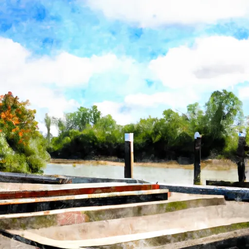
The boat ramp provides access to the Snohomish River, which is a navigable body of water that flows into the Puget Sound. The river is approximately 30 miles long and is popular for boating, fishing, and other recreational activities.
According to the official website of the City of Snohomish, the boat ramp is open to all types of motorized and non-motorized watercraft, including canoes, kayaks, paddleboards, and small powerboats. However, it is important to note that local regulations and restrictions may apply, and boaters should always check with the relevant authorities before launching their craft.
In summary, the City of Snohomish River Front Trail boat ramp is a public concrete ramp suitable for launching small boats and watercraft. It is approximately 20 feet wide and provides access to the Snohomish River, which is a navigable body of water that flows into the Puget Sound. All types of motorized and non-motorized watercraft are permitted on the water, subject to local regulations and restrictions.
Plan your launch down to the hour
Same weather feed Snoflo's iOS app uses -- updated continuously from NOAA / yr.no.
Next 5 days, hour by hour
Temperature line with weather symbols on top, snow + rain accumulation as columns, humidity as a dotted line.
5-day forecast table
Every 3 hours, broken out across temperature, snow, rain, humidity, and wind.
| Time | Condition | Temp (°F) | Snow (in) | Rain (in) | Humidity (%) | Wind (mps) | Wind dir |
|---|---|---|---|---|---|---|---|
| Loading detailed forecast… | |||||||
15-day temperature & precipitation
Daily temperatures, snow, and rain projected over the next two weeks.
Area streamflow levels
USGS streamgauges around City Of Snohomish River Front Trail, Snohomish -- the same readings that determine whether your launch is safe and your boat is the right craft.
| Streamgauge | Discharge | View |
|---|---|---|
| Pilchuck River Near Snohomish | 81 cfs | → |
| Snohomish River Near Monroe | 1,980 cfs | → |
| Sultan River Below Powerplant Near Sultan | 307 cfs | → |
| Mission Creek Near Tulalip | 1 cfs | → |
| Sultan River Below Diversion Dam Near Sultan | 105 cfs | → |
| Tulalip Creek Near Tulalip | 7 cfs | → |
Plan a longer trip
The closest paddle runs, fishing spots, and other boat launches so you can extend a day on the water.
River runs
- Headwaters In Ne1/4 Of Sec 14, T29n, R10e To Confluence With Canyon Creek
- Canyon Creek To Confluence With North Fork Stillaguamish River
- Confluence With Troublesome Creek To Confluence With South Fork Skykomish River
- Confluence Of Tye And Foss Rivers To Gold Bar
- Headwaters In Sw1/4 Of Sec 7, T31n, R9e To Boulder River Wilderness Boundary
- Snoqualmie Falls To Plum's Landing
Boating safety & etiquette
- Check the conditions before you launch
- Use the streamflow numbers, weather, and wind forecast on this page. High-cfs whitewater requires whitewater-specific craft and skill.
- Wear your life jacket
- Statistically the single biggest survival factor in a boating incident. State law often requires one per passenger.
- File a float plan
- Tell someone on shore your put-in, take-out, and expected return time. Especially for multi-day or remote trips.
- Yield at the ramp
- Prep gear in the parking lot, not on the ramp. Launch and clear quickly so others can use the lane.
- Clean, drain, dry
- Inspect, clean, drain and dry your boat between waters to prevent the spread of aquatic invasive species.
Set push alerts in the Snoflo app
Save City Of Snohomish River Front Trail, Snohomish as a favorite, set a discharge threshold or a wind/precipitation alert, and the iOS app will push the moment conditions cross.
About City Of Snohomish River Front Trail, Snohomish
Can I launch a motorboat here?
Most Snoflo-tracked launches support motorboats; check the operator for any horsepower restrictions, paddle-only zones, or seasonal closures.
How fresh is the streamflow data?
USGS streamgauges report continuously (every 15 minutes); the table on this page pulls the latest reading at page load.
Is there a fee?
Many federal and state boat launches charge a day-use fee. Check the operator's site before driving out.
What boat is right for these conditions?
Use the nearby streamflow numbers and river-run panel on this page to gauge current conditions. Wider, slower water is friendly for casual paddling and powerboats; high-cfs whitewater requires whitewater-specific craft and skill.
Can I get alerts when conditions change?
Yes -- alerts are managed in the Snoflo iOS app. Favorite this launch, set a threshold (discharge, wind), and you'll get a push the moment it crosses.
Other launches near here
Snoflo-tracked boat launches within driving distance of City Of Snohomish River Front Trail, Snohomish.