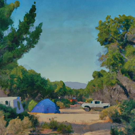
Summerdale camping area, located in California, offers campers a delightful experience surrounded by beautiful natural surroundings. The campground provides a variety of amenities to enhance the camping experience. Visitors can expect well-maintained restroom facilities, picnic areas with tables and grills, and easy access to hiking trails. Additionally, there are designated fire pits for campfires, creating a cozy atmosphere in the evenings.
Reservations are accepted at Summerdale camping area, ensuring that campers have a guaranteed spot during busy periods. It is recommended to make a reservation in advance, especially during peak seasons, to secure a spot. The campground is open year-round, but the best time to visit is during the spring and fall seasons. The weather during these times is typically mild and pleasant, ideal for outdoor activities.
While exploring the camping area, campers should be cautious of local wildlife, such as bears and mountain lions. It is important to properly store food and dispose of trash to minimize interactions with these animals. Additionally, campers should be aware of any fire restrictions or warnings that may be in place during their visit and adhere to them for safety purposes. Whether seeking a peaceful getaway or an adventurous camping experience, Summerdale camping area is a fantastic choice for nature enthusiasts.