Summary
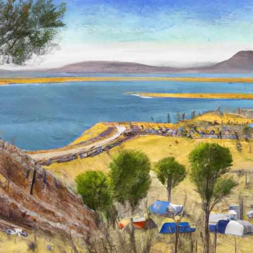
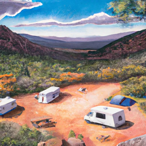
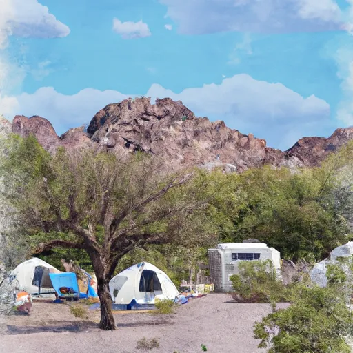
The campground offers a range of amenities to ensure a comfortable camping experience. Visitors can enjoy picnic tables, fire pits, and restrooms with flushing toilets. However, it is important to note that there is no electricity or potable water available at the site, so campers need to come prepared with ample supplies.
Reservations are not accepted at Grapevine Bay Camping Area; it operates on a first-come, first-served basis. This means that campers should plan their visit accordingly and arrive early to secure a spot, especially during peak seasons. The best time to visit is during the spring and fall months when the weather is mild and enjoyable. Summers can be scorching hot, so it is advisable to avoid camping during this time.
While exploring Grapevine Bay, campers can indulge in various outdoor activities, such as fishing and boating in the nearby Lake Pleasant. Hiking enthusiasts can venture into the surrounding trails, offering stunning views of the desert landscape. However, it is crucial to be cautious of the wildlife, as the area is known to be home to rattlesnakes. Campers are advised to stay alert and avoid any encounters with these venomous creatures. With its serene surroundings and ample recreational opportunities, Grapevine Bay Camping Area is a must-visit destination for nature lovers and outdoor enthusiasts alike.
°F
°F
mph
Wind
%
Humidity
15-Day Weather Outlook
Nearby Campgrounds
| Location | Reservations |
|---|---|
 Grapevine Bay
|
|
 Schoolhouse
|
|
 Schoolhouse Campground
|
|
 Windy Hill
|
|
 Windy Hill Campground
|
|
 Frazier Group Campground
|
5-Day Hourly Forecast Detail
Nearby Streamflow Levels
Camping Essential Practices
Take all trash, food scraps, and gear back with you to keep campsites clean and protect wildlife.
Respect Wildlife
Observe animals from a distance, store food securely, and never feed wildlife to maintain natural behavior and safety.
Know Before You Go
Check weather, fire restrictions, trail conditions, and permit requirements to ensure a safe and well-planned trip.
Minimize Campfire Impact
Use established fire rings, keep fires small, fully extinguish them, or opt for a camp stove when fires are restricted.
Leave What You Find
Preserve natural and cultural features by avoiding removal of plants, rocks, artifacts, or other elements of the environment.
Related Links
Nearby Snowpack Depths
|
WORKMAN CREEK
|
2" |
|
FOUNTAIN HILLS 1.2 NNE
|
0" |
|
HEBER
|
0" |
|
PROMONTORY
|
1" |
|
NOHRSC BAKER BUTTE SMT
|
1" |
|
BAKER BUTTE SMT
|
0" |

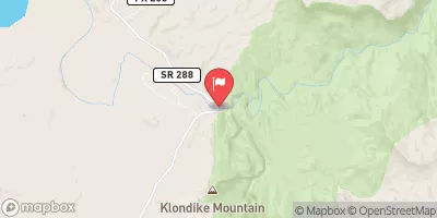
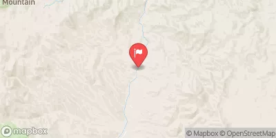
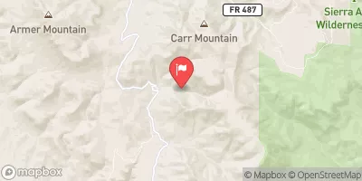
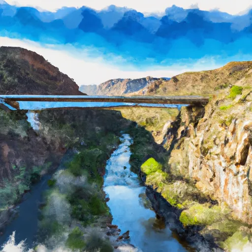 Southwest Boundary Of Salt River Canyon Wilderness To State Highway 288 Bridge
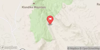
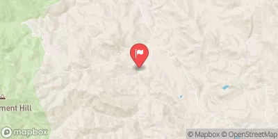
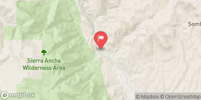
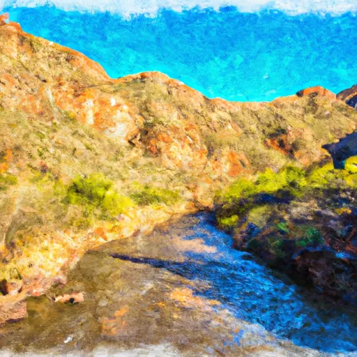 West Boundary Of Fort Apache Indian Reservation To Southwest Boundary Of Salt River Canyon Wilderness