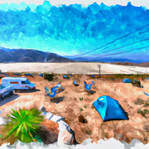
Sand Flat Campground
Community Reviews
Been here? Share the conditions.
Reviews, ratings & photos are added in the free Snoflo iOS app — rate a spot, tag the conditions, and your visit is verified by location. Add or manage your reviews from the app.
Sand Flat
Reservations are accepted at Sand Flat camping area, making it convenient for visitors to secure a spot ahead of time. This allows campers to plan their trip accordingly and guarantees a place during peak seasons. It is advisable to book in advance, especially during the summer months, as this campground tends to attract a significant number of visitors.
The best time of year to visit Sand Flat camping area is during the spring and fall seasons when the weather is mild and pleasant. These seasons offer comfortable temperatures for outdoor activities such as hiking, fishing, and exploring the nearby attractions. However, it is important for campers to be aware of their surroundings and take necessary precautions as the campground is located in bear country. Proper food storage techniques and bear-safe practices are strongly encouraged to ensure a safe and enjoyable experience for everyone.
In conclusion, Sand Flat camping area in California is a well-equipped campground that offers amenities such as picnic tables and clean restrooms. Reservations are accepted, making it convenient for visitors to secure a spot. The best time of year to visit is during the spring and fall seasons, and it is important for campers to be cautious of bears and follow appropriate safety measures.
What's on-site at Sand Flat
Key facilities Snoflo tracks for this campground. Confirm with the operator before booking -- amenities can change seasonally.
Plan your trip down to the hour
Same weather feed Snoflo's iOS app uses -- updated continuously from NOAA / yr.no.
Next 5 days, hour by hour
Temperature line with weather symbols on top, snow + rain accumulation as columns, humidity as a dotted line.
5-day forecast table
Every 3 hours, broken out across temperature, snow, rain, humidity, and wind. Each cell is colour-coded relative to the column min/max so trends jump out at a glance.
| Time | Condition | Temp (°F) | Snow (in) | Rain (in) | Humidity (%) | Wind (mps) | Wind dir |
|---|---|---|---|---|---|---|---|
| Loading detailed forecast… | |||||||
15-day temperature & precipitation
Daily temperatures, snow, and rain projected over the next two weeks. Hover any point for the full breakdown.
Other campgrounds in the area
Snoflo-tracked campsites within driving distance of Sand Flat, with reservations status.
| Campground | Reservations | Toilets | View |
|---|---|---|---|
| Sand Flat Campground (4wd Only) | ✓ | ✗ | → |
| Sand Flat Campground | ✗ | ✗ | → |
| Clark Fork Campground | ✓ | ✗ | → |
| Clark Fork | ✗ | ✗ | → |
| Eureka Valley Campground | ✗ | ✗ | → |
Nearby streamflow
USGS streamgauges within reach of Sand Flat -- pulled live from the National Water Information System.
| Streamgauge | Discharge | View |
|---|---|---|
| W Walker R Blw L Walker R Nr Coleville | 103 cfs | → |
| W Walker R Nr Coleville | 96 cfs | → |
| E F Carson R Bl Markleeville C Nr Markleevilleca | 77 cfs | → |
| Leviathan C Ab Mine Nr Markleeville Ca | 0 cfs | → |
| Leviathan Mine Adit Drain Nr Markleeville Ca | 0 cfs | → |
| Leviathan C Channel Underdrain Nr Markleeville Ca | 0 cfs | → |
Nearby snow depths
NRCS SNOTEL stations within reach of Sand Flat -- relevant when planning a shoulder-season or alpine trip.
| SNOTEL station | Snowpack | 24h Snowfall | View |
|---|---|---|---|
| Nohrsc Deadman Ck Near Kennedy Meadows - Sonora Pass | 11.3 in | 0.0 in | → |
| Nohrsc Ebbetts Pass | 0.0 in | 0.0 in | → |
| Nohrsc Elstanislaus Meadow (Goes) | 0.1 in | 0.0 in | → |
| Ebbetts Pass | 0.0 in | 0.0 in | → |
| Nohrsc Poison Flat | 3.0 in | 0.0 in | → |
| Poison Flat | 3.0 in | 0.0 in | → |
Plan a longer trip
The closest parks, lakes, boat launches, and paddle runs so a camping night can grow into a full weekend.
Parks
- Toiyabe National Forest
- Wilderness Carson-Iceberg
- Wildlife Area Slinkard / Little Antelope
- Heenan Lake Wildlife Area
- Wilderness Mokelumne
- Grover Hot Springs State Park
Boat launches
- Highland Lakes
- Lake Alpine
- Pinecrest Lake Resort Marina
- Beardsley Reservoir
- Summit Lake Trail Alpine County
- Indian Creek Camp Ground Day Use Area
Fishing spots
Camping essentials & Leave No Trace
- Pack it in, pack it out
- Take all trash, food scraps, and gear back with you to keep campsites clean and protect wildlife.
- Respect wildlife
- Observe animals from a distance, store food securely, and never feed wildlife to maintain natural behavior and safety.
- Know before you go
- Check weather, fire restrictions, trail conditions, and permit requirements to ensure a safe and well-planned trip.
- Minimize campfire impact
- Use established fire rings, keep fires small, fully extinguish them, or opt for a camp stove when fires are restricted.
- Leave what you find
- Preserve natural and cultural features by avoiding removal of plants, rocks, artifacts, or other elements of the environment.
Set push alerts in the Snoflo app
Save Sand Flat as a favorite, set a custom threshold (precipitation, snowpack, freezing temperatures), and the iOS app will push the moment conditions cross.
About Sand Flat
Can I make reservations at Sand Flat?
This campground does not appear to accept reservations -- it's typically first-come, first-served. Arrive early on summer weekends.
How fresh is the weather data on this page?
The hourly forecast updates throughout the day from the NOAA / yr.no public feeds. Streamflow data is pulled live from USGS streamgauges and snowpack from the NRCS SNOTEL network.
What's the best time of year to visit?
Use the 15-day temperature & precipitation outlook on this page to plan -- pick a window with comfortable temperatures and low precipitation. For longer trips, the 5-day hourly meteogram shows snow + rain accumulation hour-by-hour.
How do I get to Sand Flat?
Tap Directions in the hero above to open driving directions in Google Maps, or Open in map to center the Snoflo interactive map on the campground.
Can I get alerts when conditions change?
Yes -- alerts are managed through the Snoflo iOS app. Favorite this campground, set a threshold (temperature, snowpack, precipitation), and you'll get a push the moment it crosses.
Other campgrounds near here
Snoflo-tracked campgrounds within driving distance of Sand Flat.