Summary
This boat ramp provides access to the Tuolumne River, which is a popular destination for kayakers, rafters, and other recreational boaters.
According to various online sources, including the Tuolumne County website and boating forums, Merals Pool Put-In is a concrete boat ramp that is approximately 25 feet wide. Additionally, this ramp has a gentle slope and is suitable for launching small to medium-sized watercraft.
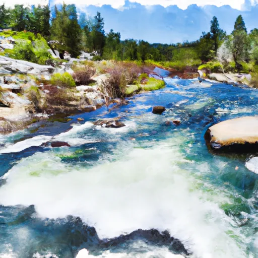
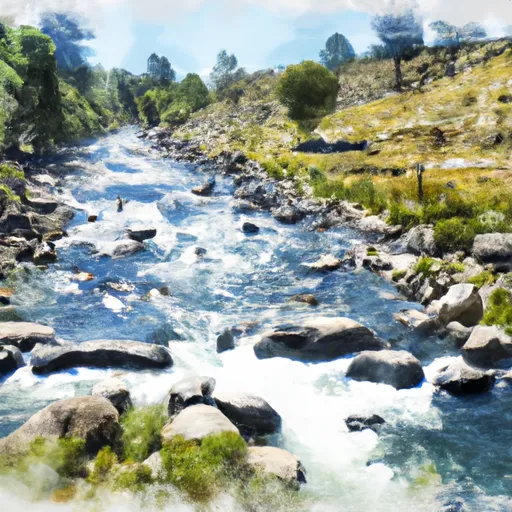
The Tuolumne River, which is accessible from Merals Pool Put-In, is approximately 83 miles long and flows through the Sierra Nevada Mountains. This river is known for its clear water, beautiful scenery, and challenging rapids, making it a popular destination for whitewater enthusiasts.
In terms of boating regulations, it appears that Merals Pool Put-In allows a variety of watercraft, including kayaks, canoes, rafts, and small motorized boats. However, it is important for boaters to check with local authorities to ensure that their vessel is permitted on the Tuolumne River and to obtain any necessary permits or licenses.
Overall, Merals Pool Put-In is a well-maintained boat ramp that provides easy access to the Tuolumne River and is suitable for a variety of watercraft. Boaters should always exercise caution when navigating the river and should be aware of any potential hazards or restrictions.
°F
°F
mph
Wind
%
Humidity

 Merals Pool Put-In
 Confluence With Middle Fork Tuolumne River To Confluence With Tuolumne River
 Clavey River From Cottonwood Road To Confluence With Tuolumne
 Clavey River From 3N01 To Cottonwood Road