Summary
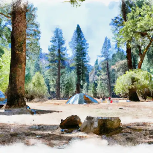
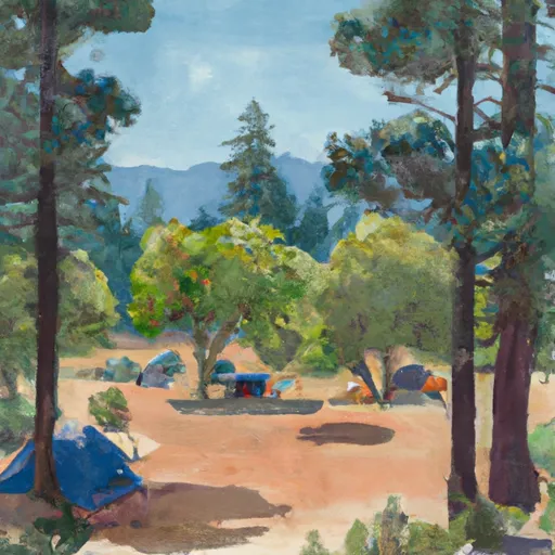
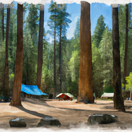
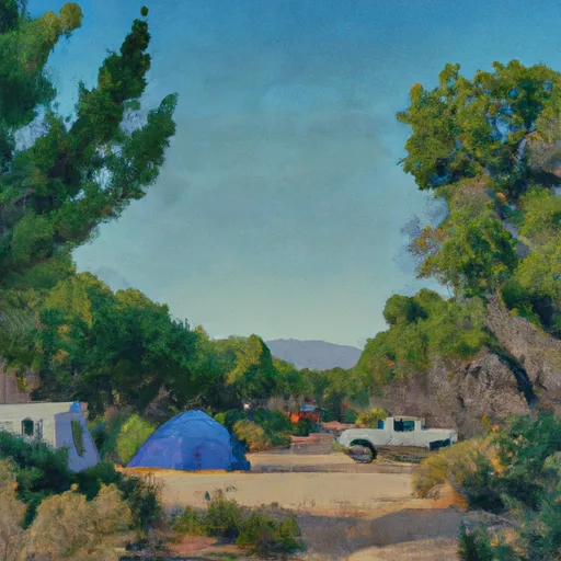
It offers a range of amenities to enhance visitors' camping experience. The campground provides access to clean drinking water, restrooms, picnic tables, and fire rings for cooking and campfires. However, there are no showers or electric hookups available at the site. It is important to note that there is no Wi-Fi or cell phone service in the area, allowing campers to truly disconnect and revel in the tranquility of nature.
Reservations are accepted at Wawona campground, allowing campers to secure their spot in advance. It is advisable to make reservations well in advance, especially during peak seasons, as the campground tends to fill up quickly. The best time to visit Wawona is during the summer months when the weather is pleasant, and the facilities are fully operational. However, it is recommended to check the current weather conditions before planning a trip, as the area can experience heavy snowfall during winter.
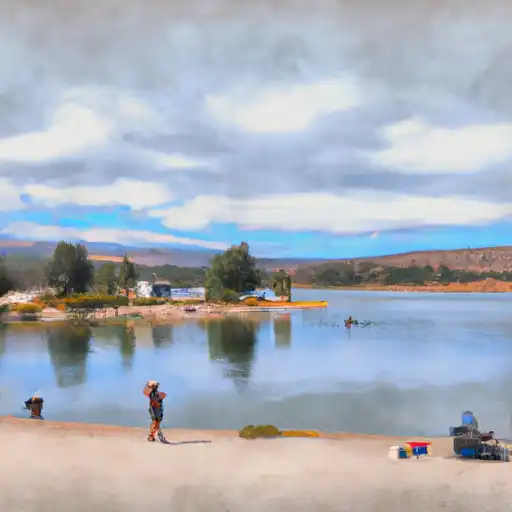
Wawona campground is surrounded by breathtaking natural beauty, including towering trees and stunning mountain views. It is situated near the South Fork of the Merced River, offering opportunities for fishing, swimming, and peaceful walks along the riverbanks. The campground also provides easy access to the nearby Mariposa Grove, home to over 500 giant sequoia trees, including the famous Grizzly Giant. While enjoying the camping area, it is essential to be cautious of wildlife encounters and store food properly to avoid attracting bears. Following proper safety guidelines and respecting the natural environment will ensure a memorable camping experience at Wawona.
°F
°F
mph
Wind
%
Humidity
15-Day Weather Outlook
Nearby Campgrounds
| Location | Reservations |
|---|---|
 Wawona - Yosemite National Park
|
|
 Waawona Campground
|
|
 Wawona
|
|
 Wawona Campground
|
|
 Summit Camp
|
|
 Summerdale
|
5-Day Hourly Forecast Detail
Nearby Streamflow Levels
Camping Essential Practices
Take all trash, food scraps, and gear back with you to keep campsites clean and protect wildlife.
Respect Wildlife
Observe animals from a distance, store food securely, and never feed wildlife to maintain natural behavior and safety.
Know Before You Go
Check weather, fire restrictions, trail conditions, and permit requirements to ensure a safe and well-planned trip.
Minimize Campfire Impact
Use established fire rings, keep fires small, fully extinguish them, or opt for a camp stove when fires are restricted.
Leave What You Find
Preserve natural and cultural features by avoiding removal of plants, rocks, artifacts, or other elements of the environment.
Related Links
Nearby Snowpack Depths
|
AHWAHNEE 2.5 NNW
|
0" |
|
NOHRSC POISON RIDGE
|
2" |
|
NOHRSC CHILKOOT MEADOW
|
0" |
|
NOHRSC WHITE WOLF RAWS
|
0" |
|
NOHRSC GRAVEYARD MEADOW
|
1" |
|
NOHRSC GREEN MTN
|
1" |

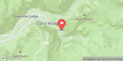
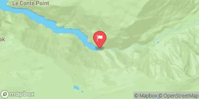
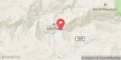
 Junction Lake
 Lewis Creek
 Grizzly Lake