Dolores River Camp 8 campground
Community Reviews
Been here? Share the conditions.
Reviews, ratings & photos are added in the free Snoflo iOS app — rate a spot, tag the conditions, and your visit is verified by location. Add or manage your reviews from the app.
Dolores River Camp 8
The McPhee Reservoir is known for its excellent fishing opportunities, including Kokanee salmon, rainbow trout, and brown trout. The San Juan National Forest offers hiking, biking, and horseback riding trails through the mountains. The area is also home to various wildlife, including deer, elk, and black bears.
Visitors should be aware that the area is subject to flash floods, so it's important to keep an eye on the weather forecast. The best time to visit the Dolores River Camp 8 Campsite is during the summer months of June through August, with average temperatures ranging from 80-90 degrees Fahrenheit during the day and 50-60 degrees Fahrenheit at night.
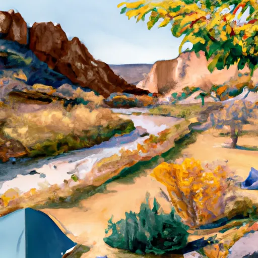
In summary, the Dolores River Camp 8 Campsite is a primitive and non-reservable area in the Lower Dolores watershed of Colorado that offers beautiful views of the Dolores River and surrounding mountains. The area is located near various points of interest, including the San Juan National Forest and the McPhee Reservoir, and offers excellent fishing and outdoor recreational opportunities. Visitors should be aware of flash floods and visit during the summer months for the most enjoyable experience.
What's on-site at Dolores River Camp 8
Key facilities Snoflo tracks for this campground. Confirm with the operator before booking -- amenities can change seasonally.
Plan your trip down to the hour
Same weather feed Snoflo's iOS app uses -- updated continuously from NOAA / yr.no.
Next 5 days, hour by hour
Temperature line with weather symbols on top, snow + rain accumulation as columns, humidity as a dotted line.
5-day forecast table
Every 3 hours, broken out across temperature, snow, rain, humidity, and wind. Each cell is colour-coded relative to the column min/max so trends jump out at a glance.
| Time | Condition | Temp (°F) | Snow (in) | Rain (in) | Humidity (%) | Wind (mps) | Wind dir |
|---|---|---|---|---|---|---|---|
| Loading detailed forecast… | |||||||
15-day temperature & precipitation
Daily temperatures, snow, and rain projected over the next two weeks. Hover any point for the full breakdown.
Other campgrounds in the area
Snoflo-tracked campsites within driving distance of Dolores River Camp 8, with reservations status.
| Campground | Reservations | Toilets | View |
|---|---|---|---|
| Dolores River Camp 7 | ✗ | ✗ | → |
| Dolores River Camp 6 | ✗ | ✗ | → |
| Dolores River Camp 5 | ✗ | ✗ | → |
| Dolores River Camp 9 | ✗ | ✗ | → |
| Dolores River Camp 4 | ✗ | ✗ | → |
Nearby streamflow
USGS streamgauges within reach of Dolores River Camp 8 -- pulled live from the National Water Information System.
| Streamgauge | Discharge | View |
|---|---|---|
| Dolores River Near Bedrock | 1 cfs | → |
| Dolores River Near Gateway | 6 cfs | → |
| Dolores River At Bedrock | 0 cfs | → |
| San Miguel River At Uravan | 7 cfs | → |
| Dolores River Near Cisco | 5 cfs | → |
| Mill Creek At Sheley Tunnel | 3 cfs | → |
Nearby snow depths
NRCS SNOTEL stations within reach of Dolores River Camp 8 -- relevant when planning a shoulder-season or alpine trip.
| SNOTEL station | Snowpack | 24h Snowfall | View |
|---|---|---|---|
| Lasal Mountain | 0.0 in | 0.0 in | → |
| Nohrsc Gold Basin | 0.0 in | 0.0 in | → |
| Lasal Mountain | 0.0 in | 0.0 in | → |
| Lasal Mountain-Lower | 0.0 in | 0.0 in | → |
| Lasal Mountain-Lower | 0.0 in | 0.0 in | → |
| Castle Valley 1se | 0.0 in | 0.0 in | → |
Plan a longer trip
The closest parks, lakes, boat launches, and paddle runs so a camping night can grow into a full weekend.
Camping essentials & Leave No Trace
- Pack it in, pack it out
- Take all trash, food scraps, and gear back with you to keep campsites clean and protect wildlife.
- Respect wildlife
- Observe animals from a distance, store food securely, and never feed wildlife to maintain natural behavior and safety.
- Know before you go
- Check weather, fire restrictions, trail conditions, and permit requirements to ensure a safe and well-planned trip.
- Minimize campfire impact
- Use established fire rings, keep fires small, fully extinguish them, or opt for a camp stove when fires are restricted.
- Leave what you find
- Preserve natural and cultural features by avoiding removal of plants, rocks, artifacts, or other elements of the environment.
Set push alerts in the Snoflo app
Save Dolores River Camp 8 as a favorite, set a custom threshold (precipitation, snowpack, freezing temperatures), and the iOS app will push the moment conditions cross.
About Dolores River Camp 8
Can I make reservations at Dolores River Camp 8?
This campground does not appear to accept reservations -- it's typically first-come, first-served. Arrive early on summer weekends.
How fresh is the weather data on this page?
The hourly forecast updates throughout the day from the NOAA / yr.no public feeds. Streamflow data is pulled live from USGS streamgauges and snowpack from the NRCS SNOTEL network.
What's the best time of year to visit?
Use the 15-day temperature & precipitation outlook on this page to plan -- pick a window with comfortable temperatures and low precipitation. For longer trips, the 5-day hourly meteogram shows snow + rain accumulation hour-by-hour.
How do I get to Dolores River Camp 8?
Tap Directions in the hero above to open driving directions in Google Maps, or Open in map to center the Snoflo interactive map on the campground.
Can I get alerts when conditions change?
Yes -- alerts are managed through the Snoflo iOS app. Favorite this campground, set a threshold (temperature, snowpack, precipitation), and you'll get a push the moment it crosses.
Other campgrounds near here
Snoflo-tracked campgrounds within driving distance of Dolores River Camp 8.