James Stocking Youth Group Camping Area Campground
Community Reviews
Been here? Share the conditions.
Reviews, ratings & photos are added in the free Snoflo iOS app — rate a spot, tag the conditions, and your visit is verified by location. Add or manage your reviews from the app.
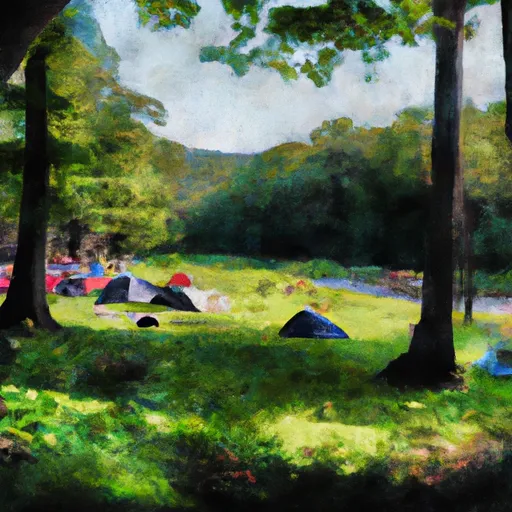
James Stocking Youth Group Camping Area
What's on-site at James Stocking Youth Group Camping Area
Key facilities Snoflo tracks for this campground. Confirm with the operator before booking -- amenities can change seasonally.
Plan your trip down to the hour
Same weather feed Snoflo's iOS app uses -- updated continuously from NOAA / yr.no.
Next 5 days, hour by hour
Temperature line with weather symbols on top, snow + rain accumulation as columns, humidity as a dotted line.
5-day forecast table
Every 3 hours, broken out across temperature, snow, rain, humidity, and wind. Each cell is colour-coded relative to the column min/max so trends jump out at a glance.
| Time | Condition | Temp (°F) | Snow (in) | Rain (in) | Humidity (%) | Wind (mps) | Wind dir |
|---|---|---|---|---|---|---|---|
| Loading detailed forecast… | |||||||
15-day temperature & precipitation
Daily temperatures, snow, and rain projected over the next two weeks. Hover any point for the full breakdown.
Other campgrounds in the area
Snoflo-tracked campsites within driving distance of James Stocking Youth Group Camping Area, with reservations status.
| Campground | Reservations | Toilets | View |
|---|---|---|---|
| Haws Memorial - American Legion State Forest | ✓ | ✗ | → |
| Camp White Youth Group Camping Area | ✗ | ✗ | → |
| White Pines Campsites | ✗ | ✗ | → |
| Roaring Brook Camp Area | ✗ | ✗ | → |
| Camp Workcoeman | ✗ | ✗ | → |
Nearby streamflow
USGS streamgauges within reach of James Stocking Youth Group Camping Area -- pulled live from the National Water Information System.
| Streamgauge | Discharge | View |
|---|---|---|
| West Branch Farmington River At Riverton | 119 cfs | → |
| Still River At Robertsville | 15 cfs | → |
| Hubbard River Nr. West Hartland | 2 cfs | → |
| Burlington Brook Near Burlington | 1 cfs | → |
| West Branch Farmington River Near New Boston | 21 cfs | → |
| Farmington River At Tariffville | 263 cfs | → |
Nearby snow depths
NRCS SNOTEL stations within reach of James Stocking Youth Group Camping Area -- relevant when planning a shoulder-season or alpine trip.
| SNOTEL station | Snowpack | 24h Snowfall | View |
|---|---|---|---|
| North Canton 0.8 Ssw | 5.0 in | 0.0 in | → |
| Bakersville | 0.0 in | 0.0 in | → |
| New Hartford Center 3.2 Sw | 0.0 in | 0.0 in | → |
| Colebrook 1.0 Ne | 0.0 in | 0.0 in | → |
| Collinsville 0.9 Nw | 0.0 in | 0.0 in | → |
| North Granby 1.3 Ene | 0.0 in | 0.0 in | → |
Plan a longer trip
The closest parks, lakes, boat launches, and paddle runs so a camping night can grow into a full weekend.
Parks
- American Legion State Forest
- Peoples State Forest
- Tunxis State Forest
- Brodie Park
- Algonquin State Forest
- Club Island Park
Boat launches
- West Hill Pond Boat Launch
- Highland Lake
- Howells Pond
- Burr Pond
- Colebrook River Lake
- Winchester Lake
Fishing spots
- Great Brook Reservoir
- Lower Fulton Park Pond
- Lake Quassapaug
- Seymour Reservoir Number 4
- Papermill Pond
- Reservoir Number 2
Points of interest
- Charcoal Mound Exhibit
- Lighthouse Cemetery
- Old School House Museum
- Indian Council Caves
- New Hartford Historical Society Museum
- American Museum Of Tort Law
Paddle runs
- The Hartland Headwaters To The Confluence With The Salmon Brook Main Stem
- New Hartford/Canton Town Line To The Confluence With The Nepaug River
- The Confluence With The Nepaug River To A Point 0.2 Miles Below The Lower Collinsville Dam Tailrace
- Begins Below The Tailrace Of The Lower Collinsville Dam To The Route 187 Bridge
- The Massachusetts-Connecticut State Line In Hartland To The Confluence With The Salmon Brook Main Stem
- The Confluence Of The East And West Branches To The Confluence With The Farmington River In East Granby
Camping essentials & Leave No Trace
- Pack it in, pack it out
- Take all trash, food scraps, and gear back with you to keep campsites clean and protect wildlife.
- Respect wildlife
- Observe animals from a distance, store food securely, and never feed wildlife to maintain natural behavior and safety.
- Know before you go
- Check weather, fire restrictions, trail conditions, and permit requirements to ensure a safe and well-planned trip.
- Minimize campfire impact
- Use established fire rings, keep fires small, fully extinguish them, or opt for a camp stove when fires are restricted.
- Leave what you find
- Preserve natural and cultural features by avoiding removal of plants, rocks, artifacts, or other elements of the environment.
Set push alerts in the Snoflo app
Save James Stocking Youth Group Camping Area as a favorite, set a custom threshold (precipitation, snowpack, freezing temperatures), and the iOS app will push the moment conditions cross.
About James Stocking Youth Group Camping Area
Can I make reservations at James Stocking Youth Group Camping Area?
This campground does not appear to accept reservations -- it's typically first-come, first-served. Arrive early on summer weekends.
How fresh is the weather data on this page?
The hourly forecast updates throughout the day from the NOAA / yr.no public feeds. Streamflow data is pulled live from USGS streamgauges and snowpack from the NRCS SNOTEL network.
What's the best time of year to visit?
Use the 15-day temperature & precipitation outlook on this page to plan -- pick a window with comfortable temperatures and low precipitation. For longer trips, the 5-day hourly meteogram shows snow + rain accumulation hour-by-hour.
How do I get to James Stocking Youth Group Camping Area?
Tap Directions in the hero above to open driving directions in Google Maps, or Open in map to center the Snoflo interactive map on the campground.
Can I get alerts when conditions change?
Yes -- alerts are managed through the Snoflo iOS app. Favorite this campground, set a threshold (temperature, snowpack, precipitation), and you'll get a push the moment it crosses.
Other campgrounds near here
Snoflo-tracked campgrounds within driving distance of James Stocking Youth Group Camping Area.