Summary
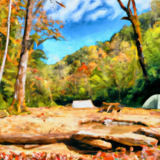
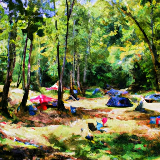
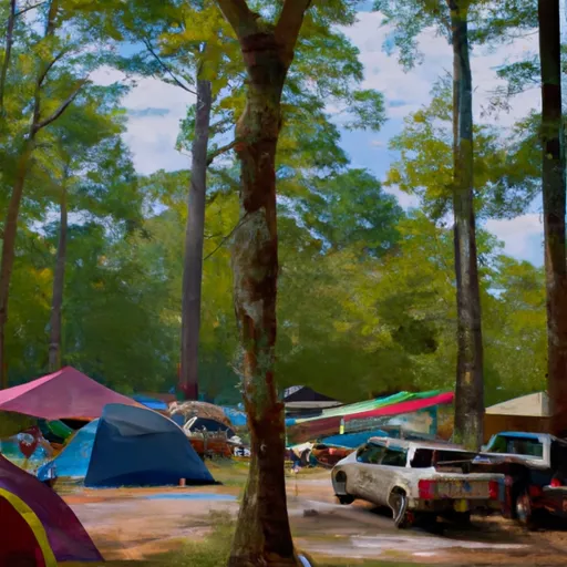
The campground is surrounded by breathtaking mountain views and lush greenery, making it an ideal location for nature lovers and outdoor enthusiasts.
There are several nearby points of interest, including hiking trails, fishing spots, and scenic drives. The Bald River Falls and the Tellico River are just a short drive away, offering visitors stunning views of cascading waterfalls and crystal-clear waters.
The campground offers several amenities, including picnic tables, fire rings, and vault toilets. There are a total of 17 campsites available on a first-come, first-served basis, so visitors should plan accordingly.
One quirky fact about Tumbling Creek is that it is located near the site of the former town of Tallassee, which was abandoned in the early 1900s after a devastating flood.
The best time of year to visit Tumbling Creek is during the spring and fall months, when the temperatures are mild and the foliage is at its most vibrant. Average temperatures during this time range from the mid-50s to mid-70s. Visitors should be aware of potential inclement weather during the winter months, as the campground is subject to heavy snowfall and icy conditions.
Nearby Campgrounds
| Location | Reservations |
|---|---|
 Tumbling Creek
|
|
 Tumbling Creek Campground
|
|
 Thunder Rock
|
|
 Thunder Rock Campground
|
|
 Sylco Campground
|
|
 Sylco
Sylco
|
Weather Forecast
Nearby Streamflow Levels
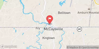 Ocoee River At Copperhill
|
263cfs |
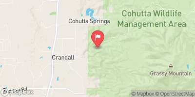 Mill Creek Near Crandall
|
4cfs |
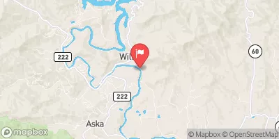 Toccoa River Near Dial
|
203cfs |
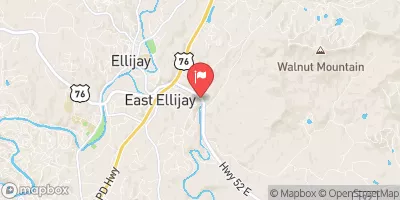 Cartecay River Near Ellijay
|
125cfs |
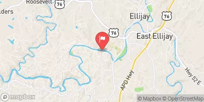 Coosawattee River Near Ellijay
|
182cfs |
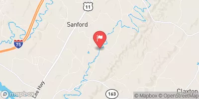 Oostanaula Creek Near Sanford
|
31cfs |
Camping Essential Practices
Take all trash, food scraps, and gear back with you to keep campsites clean and protect wildlife.
Respect Wildlife
Observe animals from a distance, store food securely, and never feed wildlife to maintain natural behavior and safety.
Know Before You Go
Check weather, fire restrictions, trail conditions, and permit requirements to ensure a safe and well-planned trip.
Minimize Campfire Impact
Use established fire rings, keep fires small, fully extinguish them, or opt for a camp stove when fires are restricted.
Leave What You Find
Preserve natural and cultural features by avoiding removal of plants, rocks, artifacts, or other elements of the environment.
Related Links
Nearby Snowpack Depths
|
JASPER
|
0" |
|
DAHLONEGA
|
0" |
|
SAUTEE 3.5 SW
|
0" |
|
GERMANY VALLEY
|
0" |
|
KINGSTON
|
0" |
|
DILLARD 0.7 NNW
|
0" |

 Toccoa Avenue 104, McCaysville
 Southern Boundary Cohutta Wilderness Near Peter Cove To Northern Boundary Cohutta Wilderness Near Alaculsy
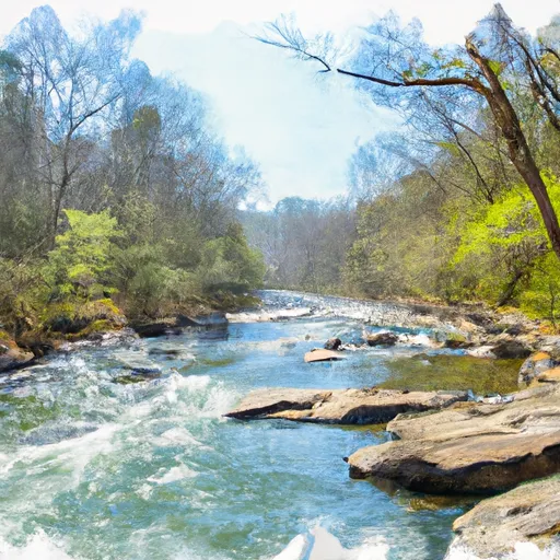 Northern Boundary Cohutta Wilderness To Confluence With Conasauga River
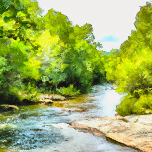 Nf Boundary To Taylor'S Creek In Cherokee Nf (Tn)
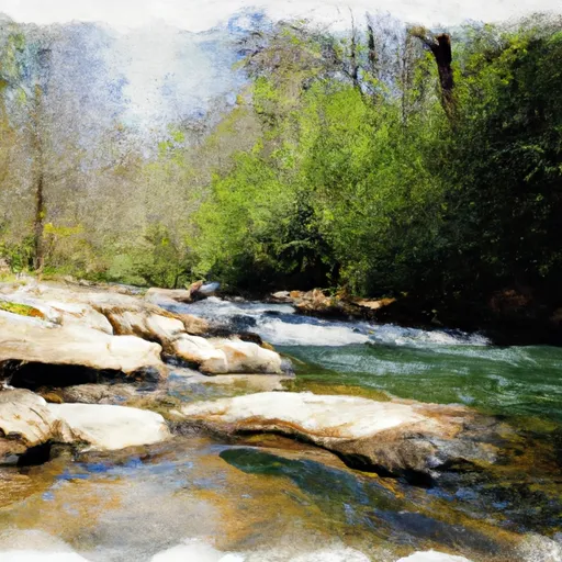 Source In Cohutta Wilderness To Nf Boundary North Of Murray'S Lake