Summary
The ideal streamflow range for this run is between 300 and 1000 cfs, which usually occurs after a heavy rainfall. The run covers a distance of approximately 13 miles from the Southern Boundary Cohutta Wilderness near Peter Cove to the Northern Boundary Cohutta Wilderness near Alaculsy, with a class rating of III-IV.
The Whitewater River Run has several notable rapids and obstacles along the way. These include the infamous "Surprise" rapid, which is a Class IV rapid that comes after a series of Class III rapids. There is also "Nasty," a Class III+ rapid that is known for its challenging entry and exit points. Other notable rapids include "The Slot," "The Chute," and "The Maze."
There are specific regulations in place for the Whitewater River Run area. For instance, camping is only allowed in designated campsites, and visitors are required to obtain a permit for overnight camping. Fires are only allowed in designated fire rings, and visitors are required to pack out all trash. Additionally, visitors must adhere to the "Leave No Trace" principles, which include minimizing impact on the environment and wildlife.
In summary, the Whitewater River Run in Georgia is a thrilling adventure for experienced kayakers and rafters. With a class rating of III-IV and several notable rapids, it offers a challenging experience for those seeking an adrenaline rush. Visitors should be aware of specific regulations in place and be mindful of environmental impact.
°F
°F
mph
Wind
%
Humidity
15-Day Weather Outlook
River Run Details
| Last Updated | 2026-02-07 |
| River Levels | 5 cfs (1.29 ft) |
| Percent of Normal | 44% |
| Status | |
| Class Level | iv-iii |
| Elevation | ft |
| Streamflow Discharge | cfs |
| Gauge Height | ft |
| Reporting Streamgage | USGS 02384540 |
5-Day Hourly Forecast Detail
Nearby Streamflow Levels
 Mill Creek Near Crandall
|
41cfs |
 Ocoee River At Copperhill
|
317cfs |
 Conasauga River Near Eton
|
283cfs |
 Holly Creek Near Chatsworth
|
385cfs |
 Hiwassee River At Charleston
|
10400cfs |
 Coosawattee River Near Ellijay
|
678cfs |
Area Campgrounds
| Location | Reservations | Toilets |
|---|---|---|
 Cottonwood Patch
|
||
 Cottonwood Patch Campground
|
||
 Sylco
Sylco
|
||
 Sylco Campground
|
||
 Hickey Gap Campground
|
||
 Lake Conasauga
|
River Runs
-
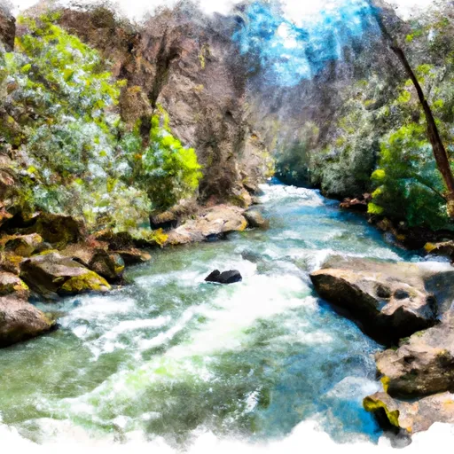 Southern Boundary Cohutta Wilderness Near Peter Cove To Northern Boundary Cohutta Wilderness Near Alaculsy
-
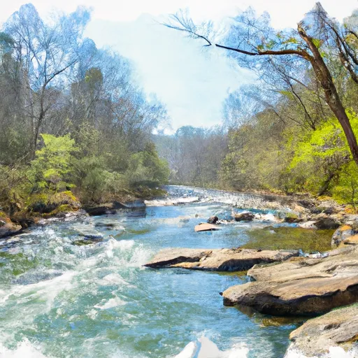 Northern Boundary Cohutta Wilderness To Confluence With Conasauga River
-
 Nf Boundary To Taylor'S Creek In Cherokee Nf (Tn)
-
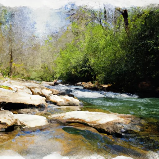 Source In Cohutta Wilderness To Nf Boundary North Of Murray'S Lake
-
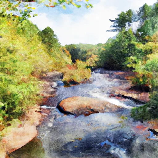 Taylors Creek (Rm 74.5) To Nf Boundary (Rm 70.0)

