Summary
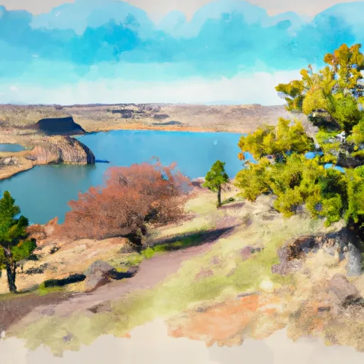
This area boasts stunning views of the Deschutes River and the surrounding canyon, making it a great spot for nature lovers and outdoor enthusiasts. Nearby points of interest include the Warm Springs Tribal Lands, the Deschutes River State Recreation Area, and the town of Maupin, which offers various recreational activities such as fishing, rafting, and hiking.
The campground amenities are limited, with no fees and no reservation system in place. There are no designated campsites, but visitors are free to set up camp anywhere within the designated camping area. There are no water or restroom facilities on-site, so campers must bring their own supplies.
Interesting facts about the area include that it is home to various wildlife species such as bighorn sheep, golden eagles, and mule deer. Additionally, the Deschutes River is a popular spot for fishing, with salmon, steelhead, and trout being common catches.
The best time to visit the D3 35R Campsite is during the summer months, as the weather is warm and dry. The average temperature during this time of year ranges from the mid-80s during the day to the low 50s at night. It is important to note that the area can experience extreme weather conditions, including thunderstorms, high winds, and flash floods, so visitors should come prepared with appropriate gear and supplies.
Sources:
- Bureau of Land Management. "Deschutes River." https://www.blm.gov/visit/deschutes-river
- AllTrails. "D3 35R Campsite." https://www.alltrails.com/trail/us/oregon/d3-35r-campsite
- Oregon State Parks. "Deschutes River State Recreation Area." https://stateparks.oregon.gov/index.cfm?do=parkPage.dsp_parkPage&parkId=33
Nearby Campgrounds
| Location | Reservations |
|---|---|
 D3.35R
|
|
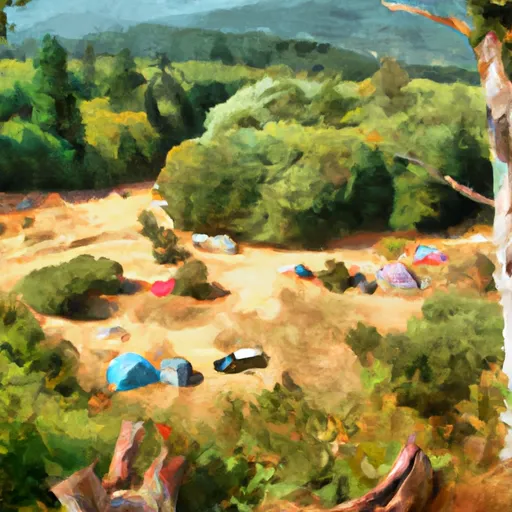 Last Ditch Camp
|
|
 D3.69R
|
|
 D3.99R
|
|
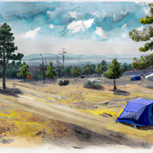 Colorado Camp
|
|
 D4.37R
|
Hourly Weather Forecast
Nearby Streamflow Levels
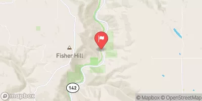
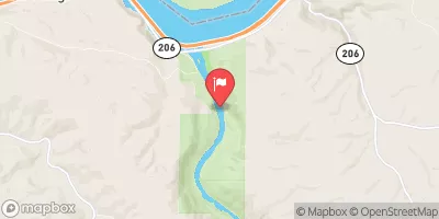 Deschutes River At Moody
|
4350cfs |
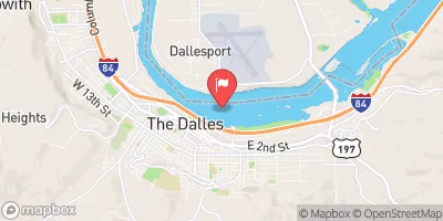 Columbia River At The Dalles
|
115000cfs |
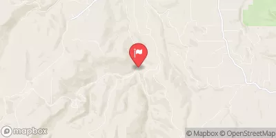
 Klickitat River Near Pitt
|
1380cfs |
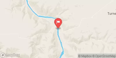
 Mosier Creek Near Mosier
|
7cfs |
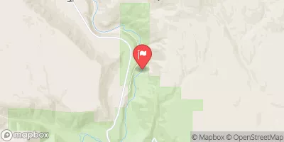
 John Day River At Mcdonald Ferry
|
945cfs |
 Klickitat River Bl Summit Creek Near Glenwood
|
1140cfs |
Camping Essential Practices
Take all trash, food scraps, and gear back with you to keep campsites clean and protect wildlife.
Respect Wildlife
Observe animals from a distance, store food securely, and never feed wildlife to maintain natural behavior and safety.
Know Before You Go
Check weather, fire restrictions, trail conditions, and permit requirements to ensure a safe and well-planned trip.
Minimize Campfire Impact
Use established fire rings, keep fires small, fully extinguish them, or opt for a camp stove when fires are restricted.
Leave What You Find
Preserve natural and cultural features by avoiding removal of plants, rocks, artifacts, or other elements of the environment.
Related Links
Nearby Snowpack Depths
|
SNOWDEN
|
0" |
|
NOHRSC INDIAN ROCK
|
0" |
|
INDIAN ROCK
|
0" |
|
20D01 - SATUS PASS
|
0" |
|
SATUS PASS
|
0" |
|
HOOD RIVER
|
0" |

 Heritage Landing
 Celilo Park
 Maryhill State Park
 Columbia Hills Natural Area Preserve
 Horsethief Lake State Park