Excelsior Campground
Community Reviews
Been here? Share the conditions.
Reviews, ratings & photos are added in the free Snoflo iOS app — rate a spot, tag the conditions, and your visit is verified by location. Add or manage your reviews from the app.
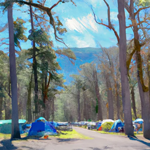
Excelsior
What's on-site at Excelsior
Key facilities Snoflo tracks for this campground. Confirm with the operator before booking -- amenities can change seasonally.
Plan your trip down to the hour
Same weather feed Snoflo's iOS app uses -- updated continuously from NOAA / yr.no.
Next 5 days, hour by hour
Temperature line with weather symbols on top, snow + rain accumulation as columns, humidity as a dotted line.
5-day forecast table
Every 3 hours, broken out across temperature, snow, rain, humidity, and wind. Each cell is colour-coded relative to the column min/max so trends jump out at a glance.
| Time | Condition | Temp (°F) | Snow (in) | Rain (in) | Humidity (%) | Wind (mps) | Wind dir |
|---|---|---|---|---|---|---|---|
| Loading detailed forecast… | |||||||
15-day temperature & precipitation
Daily temperatures, snow, and rain projected over the next two weeks. Hover any point for the full breakdown.
Other campgrounds in the area
Snoflo-tracked campsites within driving distance of Excelsior, with reservations status.
| Campground | Reservations | Toilets | View |
|---|---|---|---|
| Excelsior Group Campground | ✓ | ✗ | → |
| Douglas Fir | ✓ | ✓ | → |
| Douglas Fir Campground | ✓ | ✓ | → |
| Silver Fir Campground | ✓ | ✓ | → |
| Silver Fir | ✓ | ✓ | → |
Nearby streamflow
USGS streamgauges within reach of Excelsior -- pulled live from the National Water Information System.
| Streamgauge | Discharge | View |
|---|---|---|
| Nf Nooksack River Bl Cascade Creek Nr Glacier | 129 cfs | → |
| Clearwater Creek Near Welcome | 39 cfs | → |
| Racehorse Creek At North Fork Road Nr Kendall | 23 cfs | → |
| Mf Nooksack River Near Deming | 123 cfs | → |
| Skookum Creek Above Diversion Near Wickersham | 19 cfs | → |
| Nooksack River At North Cedarville | 503 cfs | → |
Nearby snow depths
NRCS SNOTEL stations within reach of Excelsior -- relevant when planning a shoulder-season or alpine trip.
| SNOTEL station | Snowpack | 24h Snowfall | View |
|---|---|---|---|
| Wells Creek | 0.0 in | 0.0 in | → |
| Nohrsc Wells Creek | 0.0 in | 0.0 in | → |
| Mt. Baker - Heather Meadows | 5.4 in | 0.0 in | → |
| Mf Nooksack | 0.0 in | -1.0 in | → |
| Nohrsc Mf Nooksack | 1.0 in | 0.0 in | → |
| Marten Ridge | 0.0 in | 0.0 in | → |
Plan a longer trip
The closest parks, lakes, boat launches, and paddle runs so a camping night can grow into a full weekend.
Parks
- Mount Baker National Recreation Area
- Wilderness Mount Baker
- Upper Skagit Garden Club Park
- Wilderness Noisy-Diobsud
- Lynden City Park
- Whatcom Falls Park
Boat launches
- Silver Lake
- National Forest Development Road 11, Concrete
- National Forest Development Road 1142 Whatcom County
- National Forest Development Road 1150 Whatcom County
- National Forest Development Road 012 Whatcom County
- National Forest Development Road Whatcom County
Points of interest
- Winchester Mountain Lookout
- Mcguire Snow Cabin
- Chilliwack River Rafting
- Lindell Beach
- Opa & Oma’S Farm
- Treeweaver
Paddle runs
- Nooksack Falls Diversion Dam To Nooksack Falls Power Plant
- Mt. Baker Wilderness Boundary To Nooksack Falls Diversion Dam
- Douglas Fir Campground To Mt. Baker Highway
- Mt. Baker-Snoqualmie Nf/North Cascades Np To Mt. Baker Wilderness Boundary
- Headwaters To North Cascades National Park Boundary
- Headwaters To U.S./Canadian Border
Camping essentials & Leave No Trace
- Pack it in, pack it out
- Take all trash, food scraps, and gear back with you to keep campsites clean and protect wildlife.
- Respect wildlife
- Observe animals from a distance, store food securely, and never feed wildlife to maintain natural behavior and safety.
- Know before you go
- Check weather, fire restrictions, trail conditions, and permit requirements to ensure a safe and well-planned trip.
- Minimize campfire impact
- Use established fire rings, keep fires small, fully extinguish them, or opt for a camp stove when fires are restricted.
- Leave what you find
- Preserve natural and cultural features by avoiding removal of plants, rocks, artifacts, or other elements of the environment.
Set push alerts in the Snoflo app
Save Excelsior as a favorite, set a custom threshold (precipitation, snowpack, freezing temperatures), and the iOS app will push the moment conditions cross.
About Excelsior
Can I make reservations at Excelsior?
Yes -- this campground accepts reservations. Snoflo recommends booking early for peak season; check the operator (Recreation.gov / state park system / private operator) for the booking window and cancellation policy.
How fresh is the weather data on this page?
The hourly forecast updates throughout the day from the NOAA / yr.no public feeds. Streamflow data is pulled live from USGS streamgauges and snowpack from the NRCS SNOTEL network.
What's the best time of year to visit?
Use the 15-day temperature & precipitation outlook on this page to plan -- pick a window with comfortable temperatures and low precipitation. For longer trips, the 5-day hourly meteogram shows snow + rain accumulation hour-by-hour.
How do I get to Excelsior?
Tap Directions in the hero above to open driving directions in Google Maps, or Open in map to center the Snoflo interactive map on the campground.
Can I get alerts when conditions change?
Yes -- alerts are managed through the Snoflo iOS app. Favorite this campground, set a threshold (temperature, snowpack, precipitation), and you'll get a push the moment it crosses.
Other campgrounds near here
Snoflo-tracked campgrounds within driving distance of Excelsior.
Create a free account, or sign in.
Get the free Excelsior report — alerts, favorites, and history & forecasts, plus the free iPhone app.
Pick your camping window two weeks out.
Snoflo Premium adds 15-day forecasts at every campground, weather alerts for your saved spots, and full seasonal history.