Summary
The camping area is situated at an elevation of 7,700 feet and provides stunning views of the surrounding mountains, forests, and meadows.
Nearby points of interest include the Gros Ventre Wilderness Area, which offers over 300,000 acres of rugged wilderness to explore. The Snake River is also close by, offering opportunities for fishing, rafting, and kayaking. The nearby town of Jackson Hole provides plenty of shopping, dining, and entertainment options.
The campground amenities include vault toilets, picnic tables, fire rings, and drinking water. There are no hookups available, but generators are allowed during certain hours. The campground is open from late May to early October and is first-come, first-served.
Interesting facts about the area include that it is home to the largest elk herd in North America and the largest population of grizzly bears outside of Alaska. The Bridger-Teton National Forest also contains over 1,000 miles of trails for hiking, horseback riding, and mountain biking.
The best time of year to visit the Jl 47 camping area is from June to September, when the weather is mild and the average temperatures range from the mid-50s to the mid-70s Fahrenheit. However, visitors should be prepared for sudden changes in weather and should pack layers to stay warm and dry.
°F
°F
mph
Wind
%
Humidity
15-Day Weather Outlook
Nearby Campgrounds
| Location | Reservations |
|---|---|
 JL 47
JL 47
|
|
 JL 50
JL 50
|
|
 JL 49
JL 49
|
|
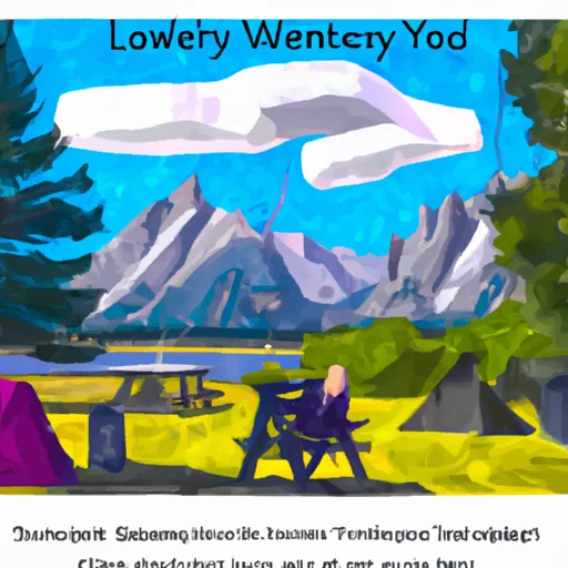 Jenny Lake Campground
|
|
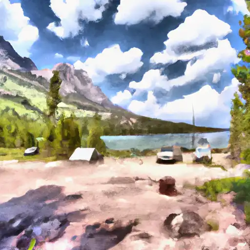 Jenny Lake - Grand Teton National Park
|
|
 JL 42
JL 42
|
5-Day Hourly Forecast Detail
Nearby Streamflow Levels
 Snake River At Moose
|
697cfs |
 Snake River Nr Moran Wy
|
269cfs |
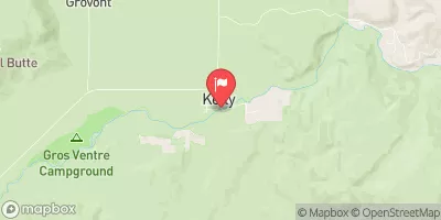 Gros Ventre River At Kelly Wy
|
143cfs |
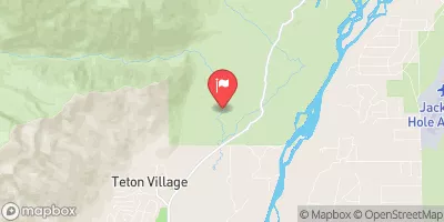 Granite C Ab Granite C Supplemental
|
55cfs |
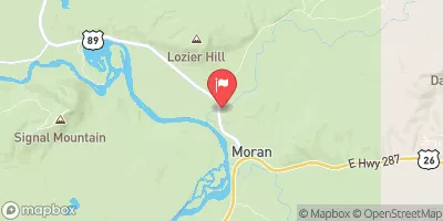 Pacific Creek At Moran Wy
|
102cfs |
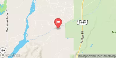 Gros Ventre River At Zenith Wy
|
54cfs |
Camping Essential Practices
Take all trash, food scraps, and gear back with you to keep campsites clean and protect wildlife.
Respect Wildlife
Observe animals from a distance, store food securely, and never feed wildlife to maintain natural behavior and safety.
Know Before You Go
Check weather, fire restrictions, trail conditions, and permit requirements to ensure a safe and well-planned trip.
Minimize Campfire Impact
Use established fire rings, keep fires small, fully extinguish them, or opt for a camp stove when fires are restricted.
Leave What You Find
Preserve natural and cultural features by avoiding removal of plants, rocks, artifacts, or other elements of the environment.
Related Links
Nearby Snowpack Depths
|
MOOSE - COOP
|
0" |
|
MORAN - COOP
|
0" |
|
JACKSON 12.3 NE
|
0" |
|
GRAND TARGHEE
|
17" |
|
GRAND TARGHEE SNOTEL
|
17" |
|
ALTA - COOP
|
0" |

 Headwaters Of South And Roaring Forks And Mainstem To Confluence With South Fork
 Badger Creek