

-
 Snoflo Premium
Get unlimited access to all our content
With no Ad interruptions! - Start Your Free Trial Login with existing account
Tonkawa
Eden Index
Climate
8.3
•
Recreation
1.1
•
Community
1.8
•
Safeguard
4.1/10
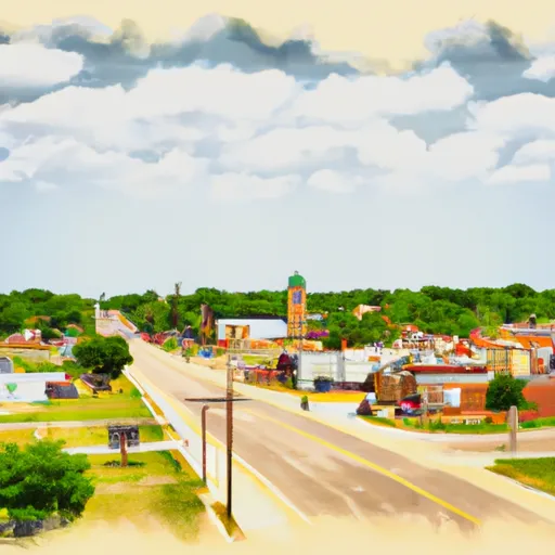
Tonkawa is a small city located in Kay County, Oklahoma, with a population of approximately 3,200 residents. The climate in Tonkawa is categorized as humid subtropical, experiencing hot summers and mild winters. Average temperatures range from highs of around 95°F (35°C) in summer to lows of 22°F (-6°C) in winter. Precipitation is fairly evenly distributed throughout the year, with an annual average of around 35 inches (89 cm).
Hydrologically, Tonkawa sits on the eastern edge of the Great Plains and is not directly adjacent to any major rivers or lakes. However, it is within a reasonable distance of the Arkansas River and Kaw Lake, providing opportunities for boating, fishing, and water-based recreation. Additionally, there are several smaller ponds and creeks in the surrounding area that offer fishing and wildlife watching.
Outdoor recreation opportunities in Tonkawa include hiking, camping, and picnicking in local parks such as Woodland Park and Barnes Park. The nearby Salt Plains National Wildlife Refuge is a unique destination, known for its crystal-clear salt flats and seasonal bird migrations, offering birdwatching and photography opportunities. Overall, Tonkawa provides a pleasant climate, limited hydrological features, and a range of outdoor activities for residents and visitors alike. (170 words)
What is the Eden Index?
The Snoflo Eden Index serves as a comprehensive rating system for regions, evaluating their desirability through a holistic assessment of climate health, outdoor recreation opportunities, and natural disaster risk, acknowledging the profound impact of these factors on livability and well-being.
Climate Health Indicator (CHI): 8.3
Tonkawa receives approximately
897mm of rain per year,
with humidity levels near 85%
and air temperatures averaging around
15°C.
Tonkawa has a plant hardyness factor of
7, meaning
plants and agriculture in this region tend to thrive during the non-winter months.
By considering the ideal temperature range, reliable water supplies, clean air, and stable seasonal rain or snowpacks, the Climate Health Indicator (CHI) underscores the significance of a healthy climate as the foundation for quality living.
A healthy climate is paramount for ensuring a high quality of life and livability in a region, fostering both physical well-being and environmental harmony. This can be characterized by ideal temperatures, reliable access to water supplies, clean air, and consistent seasonal rain or snowpacks.
Weather Forecast
Streamflow Conditions
Arkansas - Keystone
Area Rivers
Arkansas - Keystone
Snowpack Depths
Arkansas - Keystone
Reservoir Storage Capacity
Arkansas - Keystone
Groundwater Levels
Recreational Opportunity Index (ROI): 1.1
The Recreational Opportunity Index (ROI) recognizes the value of outdoor recreational options, such as parks, hiking trails, camping sites, and fishing spots, while acknowledging that climate plays a pivotal role in ensuring the comfort and consistency of these experiences.
Access to outdoor recreational opportunities, encompassing activities such as parks, hiking, camping, and fishing, is crucial for overall well-being, and the climate plays a pivotal role in enabling and enhancing these experiences, ensuring that individuals can engage in nature-based activities comfortably and consistently.
Camping Areas
| Campground | Campsites | Reservations | Toilets | Showers | Elevation |
|---|---|---|---|---|---|
| Lake Thunderbird State Park - North | None | 1,081 ft | |||
| Lake Thunderbird State Park - South | None | 1,146 ft | |||
| Arcadia Lake | 140 | 1,062 ft | |||
| Lake Carl Blackwell | 200 | 988 ft | |||
| Chandler City Park - Purcell | 25 | 1,091 ft | |||
| Tinker AFB Military | None | 1,253 ft | |||
| Liberty Lake | None | 1,025 ft | |||
| Guthrie Lake | None | 993 ft | |||
| Lake McMurtry West | None | 993 ft | |||
| Wes Watkins Reservoir | 62 | 1,113 ft |
Catastrophe Safeguard Index (CSI):
The Catastrophe Safeguard Index (CSI) recognizes that natural disaster risk, encompassing floods, fires, hurricanes, and tornadoes, can drastically affect safety and the overall appeal of an area.
The level of natural disaster risk in a region significantly affects safety and the overall livability, with climate change amplifying these risks by potentially increasing the frequency and intensity of events like floods, fires, hurricanes, and tornadoes, thereby posing substantial challenges to community resilience and well-being.
Community Resilience Indicator (CRI): 1.8
The Community Resilience Indicator (CRI) recognizes that education, healthcare, and socioeconomics are crucial to the well-being of a region. The CRI acknowledges the profound impact of these elements on residents' overall quality of life. By evaluating educational resources, healthcare accessibility, and economic inclusivity, the index captures the essential aspects that contribute to a thriving community, fostering resident satisfaction, equity, and social cohesion.