Summary
The area is home to several species of trout, including rainbow, brown, and brook trout, as well as smallmouth bass and catfish.
Fishing in the South Fork requires a valid California fishing license, and anglers can use a variety of techniques, such as fly fishing, spinning, and baitcasting. The best fishing spots are located near riffles, undercut banks, and deep pools, where fish tend to congregate.
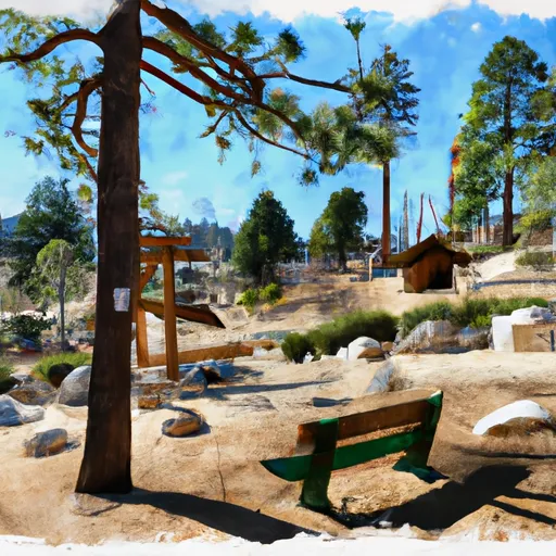
Aside from fishing, the South Fork offers visitors a range of recreational activities, such as hiking, camping, and picnicking. The area is surrounded by stunning mountains and is home to a variety of wildlife, including deer, bears, and mountain lions.
The best time to visit the Santa Ana River - South Fork for fishing is from April to November, with the peak season being from May to October. During this time, the average temperature ranges from 60 to 85 degrees Fahrenheit, making it comfortable for outdoor activities.
Fishing tips for the South Fork include using small lures and baits, matching the hatch, and being patient. Anglers should also be aware of the fishing regulations and practice catch-and-release to preserve the fish population.
In summary, the Santa Ana River - South Fork is an excellent fishing destination in California, USA, with a variety of fish species, recreational activities, and stunning scenery. Visitors can enjoy fishing, hiking, camping, and observing wildlife, making it a perfect spot for outdoor enthusiasts. The best time to visit is from April to November, with peak season from May to October, and the average temperature ranges from 60 to 85 degrees Fahrenheit.
°F
°F
mph
Wind
%
Humidity
15-Day Weather Outlook
5-Day Hourly Forecast Detail
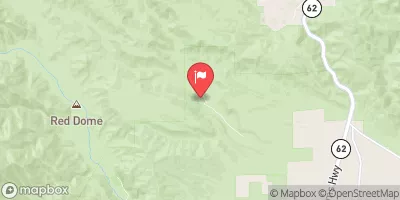
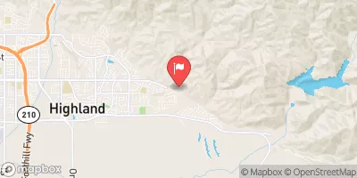
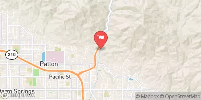
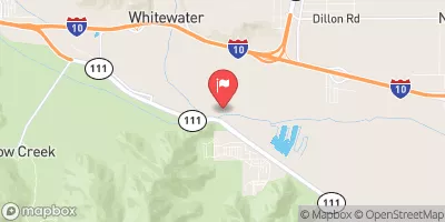
Nearby Streamflow Levels
Angling Safety Guidelines
Check local fishing rules, seasons, size limits, and license requirements to ensure legal and sustainable angling.
Handle Fish Responsibly
Use wet hands, minimize air exposure, and release fish gently to improve survival rates when practicing catch-and-release.
Choose the Right Gear
Match your rod, line, and tackle to the species and conditions to increase success and reduce unnecessary harm to fish.
Respect the Waterway
Avoid disturbing habitat, prevent bank erosion, and keep a safe distance from spawning areas to protect ecosystems.
Keep It Clean
Pack out all line, hooks, bait containers, and trash—discarded gear can injure wildlife and degrade waterways.
Related Links
Area Campgrounds
| Location | Reservations | Toilets |
|---|---|---|
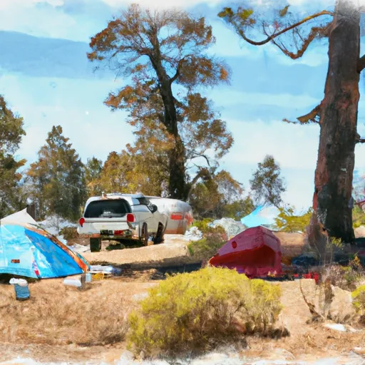 South Fork Family Campground
|
||
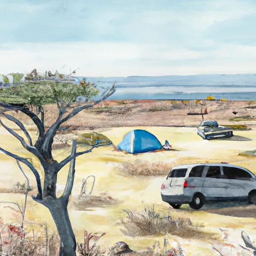 East Flats
|
||
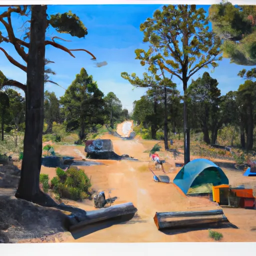 Lobo Group Campground
|
||
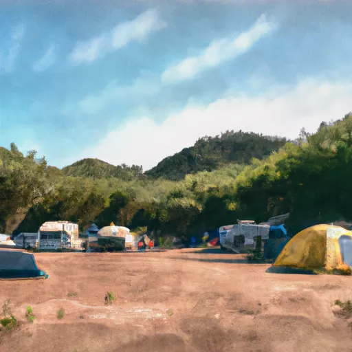 Oso Group Campground
|
||
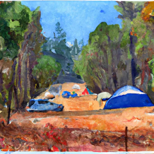 YMCA Camp Edwards
|
||
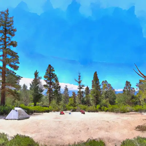 San Gorgonio
|

 Santa Ana River
 Mill Creek
 Big Bear Lake
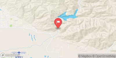
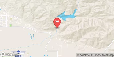
 Jenks Lake - Dam
 Sugarloaf Park
 Big Bear City Park
 Meadows Edge Park
 Grout Bay Park
 Dana Point Park