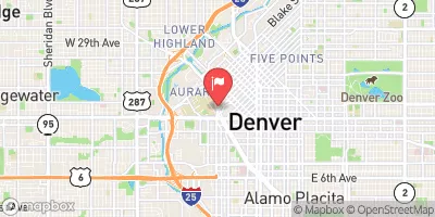
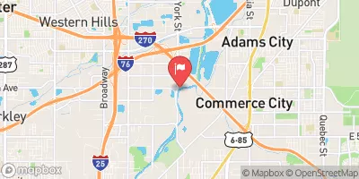
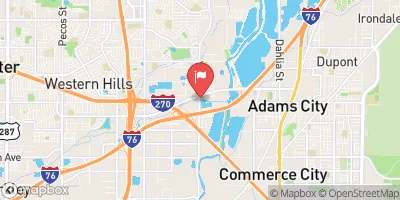
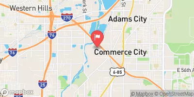
LOWELL PONDS

Species Weather Hydrology


FISHING COLORADO

Lowell Ponds


April 24, 2024

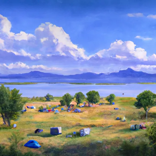
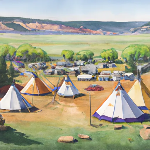
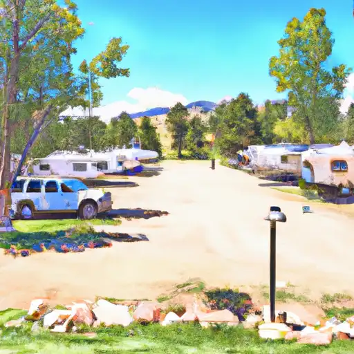
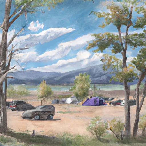
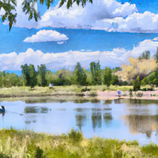
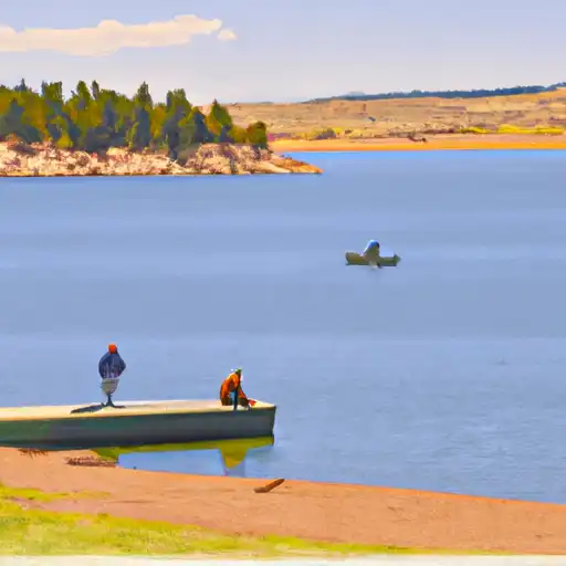
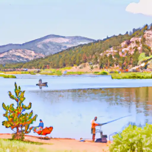
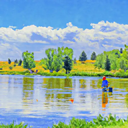
The Lowell Ponds fishing area in Colorado is popular for its plentiful fish species, including rainbow trout, largemouth bass, and bluegill. Nearby activities include hiking, biking, picnicking, and camping at nearby state parks. Fishing tips include using fly fishing gear and baiting with worms or power bait. The best time to visit is in the summer months, with average temperatures ranging from 70-80°F. It's important to note that catch-and-release regulations are in place at the ponds.


Fish Species
Image Alt Apache Trout
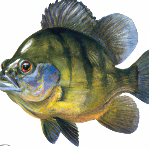
Image Alt Bluegill
Image Alt Kelp Bass
Image Alt Largemouth Bass
Image Alt Rainbow Trout

Weather Outlook


16 Day Long Term Forecast

Seasonal Comparison


Historical Data


Area Boat Ramps

BRIDGES RIVER ACCESS POINT (PUT-IN)
Cache La Poudre Watershed, Colorado
BRIDGES RIVER ACCESS POINT (TAKE-OUT)
Cache La Poudre Watershed, Colorado
DOWDY DRIVE 2, LARIMER COUNTY
Cache La Poudre Watershed, Colorado
NOWATA DRIVE 407, LARIMER COUNTY
Cache La Poudre Watershed, Colorado
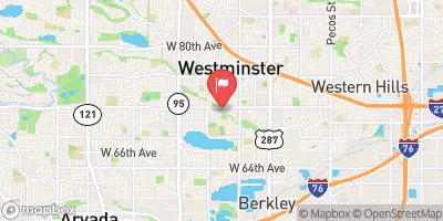
WEST 69TH AVENUE 4700, WESTMINSTER
Clear Watershed, Colorado
ADAMS COUNTY
Middle South Platte-Cherry Creek Watershed, Colorado
BRIGHTON
Middle South Platte-Cherry Creek Watershed, Colorado
NOWATA DRIVE 875, LARIMER COUNTY
Cache La Poudre Watershed, Colorado
BRIDGES RIVER ACCESS POINT (TAKE-OUT #2)
Cache La Poudre Watershed, Colorado
PINEVIEW RIVER ACCESS POINT (PUT-IN, TAKE-OUT)
Cache La Poudre Watershed, Colorado

Rafting & Kayaking

BEGINS 0.5 MILES UPSTREAM FROM END OF COUNTY HWY 115 TO EASTERN BOUNDARY OF ROCKY MOUNTAIN NATIONAL PARK
St. Vrain Watershed, Colorado
CHEESEMAN DAM TO WIGMAN CLUB
Upper South Platte Watershed, Colorado
ESTABROOK TO CLIFFDALE
Upper South Platte Watershed, Colorado
NORTH FORK--INSMONT TO ESTABROOK
Upper South Platte Watershed, Colorado
WIGMAN CLUB TO STRONTIA RESERVOIR
Upper South Platte Watershed, Colorado
BEAVER CREEK TO CHEESEMAN RESERVOIR
South Platte Headwaters Watershed, Colorado
END OF FOUR-WHEEL DRIVE ROAD TO PEARL CREEK IN SE 1/4 SEC 21, T10N, R74W
Cache La Poudre Watershed, Colorado
CLIFFDALE TO CONFLUENCE WITH SOUTH PLATTE
Upper South Platte Watershed, Colorado
HEADWATERS TO ENDS 0.5 MILES UPSTREAM FROM END OF COUNTY HWY 115
St. Vrain Watershed, Colorado
PRIVATE LAND TO CONFLUENCE WITH BEAVER CREEK
South Platte Headwaters Watershed, Colorado

Parks & Recreation


Curt Gowdy State Park

Hutton Lake National Wildlife Refuge

Holliday Park

Brimmer Park

South Cheyenne Community Park

Mylar Park

Converse Softball Complex

Dutcher Field

Leo Pando Park

Bamforth National Wildlife Refuge


BEAVER MEADOWS VISITOR CENTER
The Beaver Meadows Visitor Center is a must-see point of interest in Colorado's Rocky Mountain National Park. This award-winning visitor center offers informative exhibits, interactive displays, and a wide range ...
PAWNEE OVERLOOK OBSERVATION SITE
FLAT ROCKS OVERLOOK OBSERVATION SITE
FALL RIVER VISITOR CENTER
The Fall River Visitor Center in Colorado is a must-visit destination for nature enthusiasts and history buffs alike. Located in Rocky Mountain National Park, the center offers a wealth of ...
MORAINE PARK DISCOVERY CENTER
The Moraine Park Discovery Center is one of the must-visit points of interest for tourists in Colorado's Rocky Mountain National Park. This educational center offers visitors the opportunity to learn ...

Nearby Campgrounds

Camping Area Campsites Reservations Toilets Showers Elevation
Hayden Creek 11 7,758 ft
Northern Plains - Lake Pueblo State Park Numerous 4,939 ft
Turkey Creek Military - Fort Carson Numerous 6,346 ft
Oak Creek 15 7,649 ft
Arkansas Point - Lake Pueblo State Park Numerous 4,939 ft
Juniper Breaks - Lake Pueblo State Park Numerous 4,915 ft
Grape Creek - Temple Canyon Park Numerous 6,160 ft
Coaldale 10 7,340 ft
Five Points - Arkansas Headwaters State Rec Area 12 6,084 ft
Lake Creek 11 8,262 ft

Log Your Visit

When was your last visit to Lowell Ponds?

Add a Photo

How was it? How were conditions?

Rate the backcountry skiing


Submit

Leave A Review

Lowell Ponds

Submit

Upload an Image

Lowell Ponds

Favorite Limit Reached