Summary
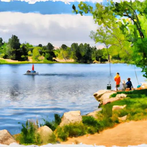
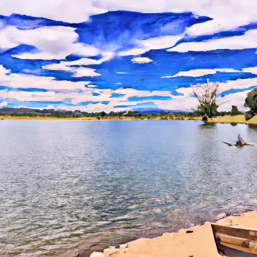
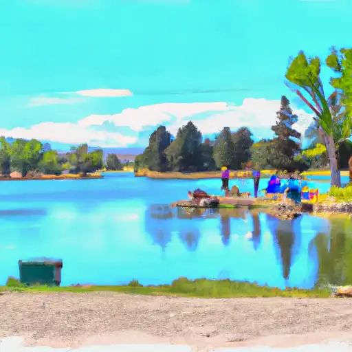
This boat ramp is primarily used for launching boats onto the Ralston Creek Reservoir.
The Ralston Creek Trail Arvada boat ramp is a concrete ramp that is approximately 30 feet wide. It is suitable for launching small to medium sized boats and watercraft, including fishing boats, canoes, kayaks, and paddleboards.
The Ralston Creek Reservoir is a small body of water that is located in the Apex Park and Recreation District. It is a popular destination for fishing, boating, and other water sports. The reservoir is approximately 47 acres in size and has a maximum depth of 28 feet.
In terms of watercraft, the Ralston Creek Reservoir permits both motorized and non-motorized boats. However, there are some restrictions on the use of motorized boats, including a maximum speed limit of 10 mph and a ban on wakeboarding, water skiing, and other high-speed water sports.
Overall, the Ralston Creek Trail Arvada boat ramp is a popular destination for boaters and water enthusiasts in the Arvada area. Its convenient location and easy access make it a great option for anyone looking to get out on the water and enjoy the beautiful Colorado scenery.
°F
°F
mph
Wind
%
Humidity

 Ralston Creek Trail Arvada
 Golden Whitewater Park
 Tunnel 1 to Golden Whitewater Park
 Upper Clear Creek
 Idledale to Morrison
 Meadow Park Lake
 Ward Road Pond
 Prospect Park Lakes (Wheatridge)
 Standley Lake
 Birdland Lake (Jack B. Tomlinson Park)