Chain O Lakes fishing
Community Reviews
Been here? Share the conditions.
Reviews, ratings & photos are added in the free Snoflo iOS app — rate a spot, tag the conditions, and your visit is verified by location. Add or manage your reviews from the app.
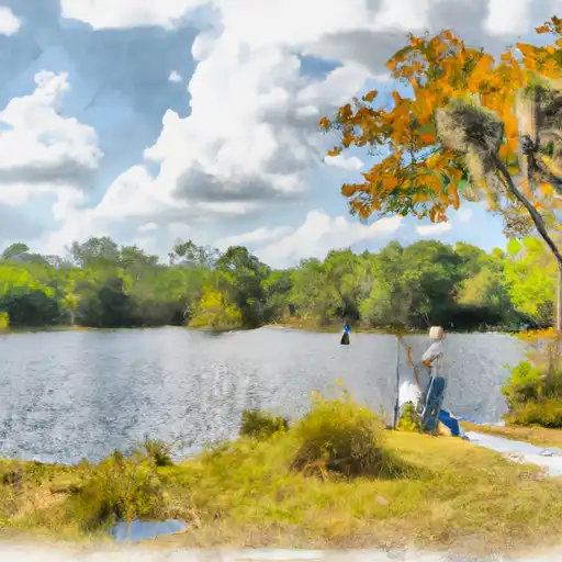
Chain O Lakes
What's biting at Chain O Lakes
Species commonly reported here -- tap any card for techniques, target seasons, and other waters where it's been caught.
Plan your trip down to the hour
Same weather feed Snoflo's iOS app uses -- updated continuously from NOAA / yr.no.
Next 5 days, hour by hour
Temperature line with weather symbols on top, snow + rain accumulation as columns, humidity as a dotted line.
5-day forecast table
Every 3 hours, broken out across temperature, snow, rain, humidity, and wind. Each cell is colour-coded relative to the column min/max so trends jump out at a glance.
| Time | Condition | Temp (°F) | Snow (in) | Rain (in) | Humidity (%) | Wind (mps) | Wind dir |
|---|---|---|---|---|---|---|---|
| Loading detailed forecast… | |||||||
15-day temperature & precipitation
Daily temperatures, snow, and rain projected over the next two weeks. Hover any point for the full breakdown.
Nearby streamflow
USGS streamgauges within reach of Chain O Lakes -- updated continuously from the National Water Information System.
| Streamgauge | Discharge | View |
|---|---|---|
| St. Johns River At Astor | 2,660 cfs | → |
| Ocklawaha R At Moss Bluff | 24 cfs | → |
| St. Johns River Nr Deland | 2,870 cfs | → |
| Haines Creek At Lisbon | 12 cfs | → |
| Blackwater Creek Near Cassia | 3 cfs | → |
| Ocklawaha River Nr Ocala | 43 cfs | → |
Plan a longer trip
The closest campgrounds, parks, boat launches, and reservoirs so a fishing run can grow into a weekend.
Campgrounds
- Buck Lake Group Camp
- Alexander Springs Campground
- Alexander Springs
- Juniper Springs Run Put In
- Juniper Springs Run Take Out
- Lake Dorr Campground
Parks
- Wilderness Juniper Prairie
- Wilderness Billies Bay
- Alexander Springs Recreational Area
- Lake George State Forest
- Ocala Wildlife Management Area
- Ocala National Forest
Reservoirs
- Sunnyhill Restoration Area Outlet
- Sjrwmd Structure E-2
- Sunnyhill Restoration Area Culvert
- Moss Bluff Lock And Spillway
- Eugene J Burrell Lock And Dam
- Lake Joy
Boat launches
- Chain-O-Lakes Western Boat Access (Forest Road 562)
- Ocala National Forest - Sellers Lake
- Chain-O-Lakes Northern Access (Forest Road 599)
- Ocala Pond Primitive Boat Ramp
- Marion County
- Ocala National Forest - Beakman Lake Public Boat Ramp
Points of interest
- Billie Bay Wilderness
- Juniper Prairie Wilderness
- Alexander Springs Wilderness
- Eustis Historical Museum
- Lake Eustis Museum Of Art
Paddle runs
- Segment A--Mouth Of Spring On Ocala Nf (At Juniper Springs Wilderness) To Bridge On Sh 19 (At Wilderness Boundary)
- Segment B--Bridge On Sh 19 To Confluence With Lake George
- Segment A--Mouth Of Spring On Ocala Nf To Alexander Springs Wilderness Boundary
- Segment B--Alexander Springs Wilderness Boundary To Confluence With St. Johns River
Angling safety & ethics
- Know the regulations
- Check local fishing rules, seasons, size limits, and license requirements to ensure legal and sustainable angling.
- Handle fish responsibly
- Use wet hands, minimize air exposure, and release fish gently to improve survival rates when practicing catch-and-release.
- Choose the right gear
- Match your rod, line, and tackle to the species and conditions to increase success and reduce unnecessary harm to fish.
- Respect the waterway
- Avoid disturbing habitat, prevent bank erosion, and keep a safe distance from spawning areas to protect ecosystems.
- Keep it clean
- Pack out all line, hooks, bait containers, and trash. Discarded gear can injure wildlife and degrade waterways.
Set push alerts in the Snoflo app
Save Chain O Lakes as a favorite, set a custom threshold (water temperature, streamflow, snowpack), and the iOS app will push the moment conditions cross.
About Chain O Lakes
What fish species are found at Chain O Lakes?
Snoflo tracks the species commonly reported at Chain O Lakes -- see the Fish Species panel above for the live list with images and links to per-species pages.
How fresh is the weather data on this page?
The hourly forecast updates throughout the day from the NOAA / yr.no public feeds. Streamflow data comes live from USGS streamgauges, also refreshed continuously.
Can I get alerts when conditions change?
Yes -- alerts are managed through the Snoflo iOS app. Favorite this area, set a threshold (water temperature, streamflow, snowpack), and you'll get a push the moment it crosses.
Do I need a fishing license?
Yes. Check your state agency's regulations for license requirements, seasons, size limits, and any waterbody-specific rules before fishing Chain O Lakes.
How do I get to Chain O Lakes?
Tap Open in map in the hero above to center the Snoflo interactive map on this area, or grab the coordinates from the location facts panel.
Other angling spots near here
Snoflo-tracked fishing areas within driving distance of Chain O Lakes.