GURDON POND ONE
Species
•
Weather
•
Hydrology
FISHING
•
ARKANSAS
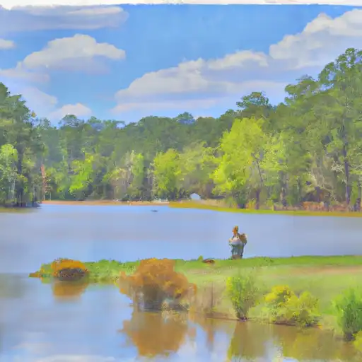
Gurdon Pond One
Gurdon Pond One is located in Gurdon, Arkansas, and is a popular fishing spot for locals and visitors alike. The pond is stocked with a variety of fish species, including catfish, crappie, bass, and bream, making it a great place for anglers of all skill levels. Nearby activities include hiking, bird watching, and camping. Fishing tips include using live bait and fishing near the banks or near submerged structures. The best time to visit is in the spring and fall when the weather is mild, with average temperatures ranging from 60 to 80 degrees Fahrenheit.
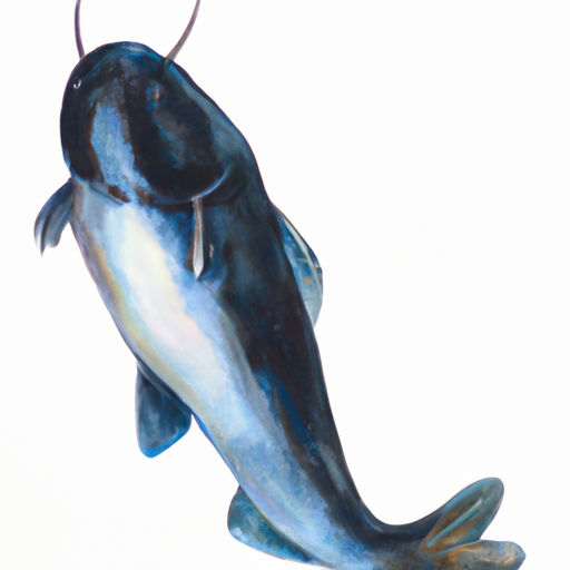
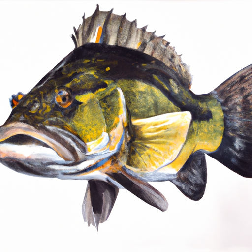
Fish Species
Black Crappie
Blue Catfish
Kelp Bass
Weather Outlook
16 Day Long Term Forecast
Regional Streamflow Levels
Area Boat Ramps
CLEVENGER COVE BOAT LAUNCH
Beaver Reservoir Watershed, Arkansas
VALLEY AIRPORT DRIVE 380, COTTER
Bull Shoals Lake Watershed, Arkansas
TABLE ROCK LAKESHORE TRAIL STONE COUNTY
Beaver Reservoir Watershed, Arkansas
BULL SHOALS DAM BOULEVARD BULL SHOALS
Bull Shoals Lake Watershed, Arkansas
STATE PARK DRIVE 5272, TANEY COUNTY
Beaver Reservoir Watershed, Arkansas
SHORE LINE DRIVE DIAMOND CITY
Bull Shoals Lake Watershed, Arkansas
STATE PARK DRIVE 5272, TANEY COUNTY
Beaver Reservoir Watershed, Arkansas
STATE HIGHWAY HH OZARK COUNTY
Bull Shoals Lake Watershed, Missouri
TURKEY MOUNTAIN ROAD EMERALD BEACH
Beaver Reservoir Watershed, Arkansas
DALE AVENUE 517, TANEY COUNTY
Beaver Reservoir Watershed, Arkansas
Rafting & Kayaking
LAKE WINONA DAM TO SOUTHERN LINE OF SEC 16, T2N, R17W
Upper Saline Watershed, Arkansas
TOWN BLUFF DAM TO HWY 96 BRIDGE
Lower Neches Watershed, Texas
HEADWATERS IN SEC 8, T1S, R31W TO NF BOUNDARY AT ACORN, AR
Ouachita Headwaters Watershed, Arkansas
HWY 96 BRIDGE TO NECHES RIVER SALTWATER BARRIER
Lower Neches Watershed, Texas
HEADWATERS SEC 2, T1N, R20W TO SEC 7, T1N, R19W
Upper Saline Watershed, Arkansas
SEC 30, T3S, R27W TO SEC 19, T4S, R24W
Upper Ouachita Watershed, Arkansas
HIGHWAY 298 BRIDGE NEAR SIMS, AR TO SLACKWATER OF LAKE OUACHITA
Ouachita Headwaters Watershed, Arkansas
EAST LINE OF NW 1/4, SEC 22, T2N, R17W TO WEST LINE OF SEC 26, T2N, R17W
Upper Saline Watershed, Arkansas
NF BOUNDARY AT PINE RIDGE, AR TO HIGHWAY 298 BRIDGE NEAR SIMS, AR
Ouachita Headwaters Watershed, Arkansas
US HIGHWAY 69 TO BA STEINHAGEN RESERVOIR
Lower Neches Watershed, Texas
Leave A Review
Gurdon Pond One
Submit
×
Delete User Account
Deleting your account will permanently remove all your data including preferences, favorites, alerts, and any subscriptions.
I am sure I want to delete my account
×
We recently sent an account verification email to
.
Please follow the instructions in the email to verify your account.
×
Favorite Limit Reached
Your free user account comes with 3 free favorites.
Manage Your Favorites
×