PEA RIVER
Species
•
Weather
•
Hydrology
FISHING
•
FLORIDA
Pea River
Pea River is a fantastic fishing area in Alabama, offering a diverse range of fish species including largemouth bass, crappie, catfish, and striped bass. Nearby activities include camping, hiking, and kayaking. The best time to visit is in the spring and fall when the weather is mild, and the fishing is excellent. During the spring, the average temperature is around 70°F, while in the fall, it's around 60°F. Fishing tips include using live bait, fishing in deeper parts of the river, and casting near rocks and vegetation.
Fish Species
Black Crappie
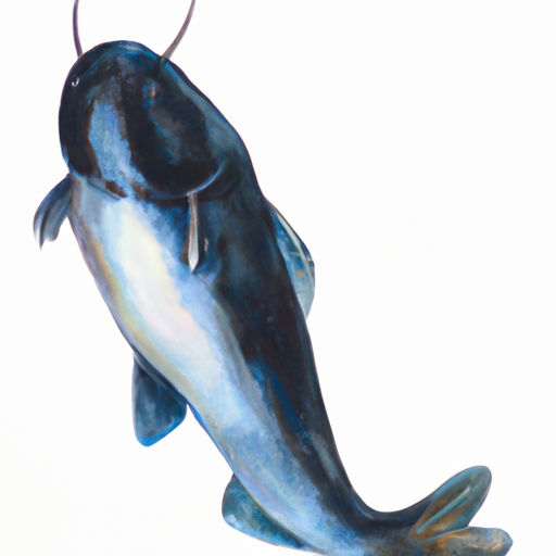
Blue Catfish
Kelp Bass
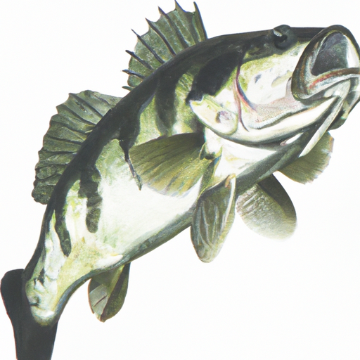
Largemouth Bass
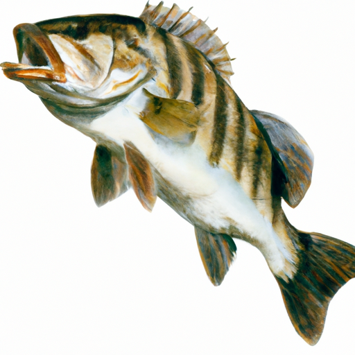
Striped Bass
Weather Outlook
16 Day Long Term Forecast
Regional Streamflow Levels
Area Boat Ramps
BLACK CREEK LODGE
Lower Choctawhatchee Watershed, Florida
FRANK PATE PARK
St. Andrew-St. Joseph Bays Watershed, Florida
MALLARD STREET BOAT RAMP
St. Andrew-St. Joseph Bays Watershed, Florida
SANDY CREEK ROAD BAY COUNTY
St. Andrew-St. Joseph Bays Watershed, Florida
POLECAT BAYOU BOAT RAMP
Watershed,
HIGHLAND VIEW BOAT RAMP
St. Andrew-St. Joseph Bays Watershed, Florida
DONALDSON POINT
Watershed,
T.H. STONE MEMORIAL ST JOSEPH PENINSULA STATE PARK - EAGLE HARBOR
St. Andrew-St. Joseph Bays Watershed, Florida
B.V. BUCHANAN PARK AND BOAT RAMP
St. Andrew-St. Joseph Bays Watershed, Florida
EARL GILBERT PARK BOAT RAMP
Watershed,
Rafting & Kayaking
BEGINS ONE MILE UPSTREAM FROM AL 273 BRIDGE TO LAKE WEISS
Upper Coosa Watershed, Alabama
SEGMENT C--MUD SWAMP/NEW RIVER WILDERNESS BOUNDARY TO MUD SWAMP/NEW RIVER WILDERNESS (SOUTHERN) BOUNDARY
New Watershed, Florida
CONFLUENCE WITH EAST AND WEST BRANCHES TO AL 37 BRIDGE
Upper Coosa Watershed, Alabama
CONFLUENCE WITH YELLOW RIVER TO COUNTY ROAD IN SEC 7
Yellow Watershed, Alabama
BEGINS ONE MILE UPSTREAM FROM AL 273 BRIDGE TO ENDS AT LAKE WEISS
Upper Coosa Watershed, Alabama
BEGINS AT AL 35 BRIDGE TO ENDS ONE MILE UPSTREAM FROM AL 273 BRIDGE
Upper Coosa Watershed, Alabama
CITY LIMITS OF ENGLISH, IN TO CARNES MILL SITE IN NE1/4NE1/4 OF SEC 13, T3S, R1W
Blue-Sinking Watershed, Indiana
SEGMENT B--SH 65 TO CARR BRIDGE ON FH 13
New Watershed, Florida
AL 35 BRIDGE TO ENDS ONE MILE UPSTREAM FROM AL 273 BRIDGE
Upper Coosa Watershed, Alabama
CARNES MILL SITE TO 7.65 MILES ABOVE CONFLUECE WITH OHIO RIVER AT CONFLUENCE WITH TURKEY CREEK
Blue-Sinking Watershed, Indiana
Leave A Review
Pea River
Submit
×
Delete User Account
Deleting your account will permanently remove all your data including preferences, favorites, alerts, and any subscriptions.
I am sure I want to delete my account
×
We recently sent an account verification email to
.
Please follow the instructions in the email to verify your account.
×
Favorite Limit Reached
Your free user account comes with 3 free favorites.
Manage Your Favorites
×