2026-02-23T10:00:00-05:00
* WHAT...Very cold wind chills ranging from 10 degrees above zero to a few degrees below zero expected. * WHERE...Portions of central, east central, north central, northeast, northwest, southeast, and west central Georgia. * WHEN...From 1 AM to 10 AM EST Monday. * IMPACTS...Very cold temperatures can lead to hypothermia with prolonged exposure.
Summary
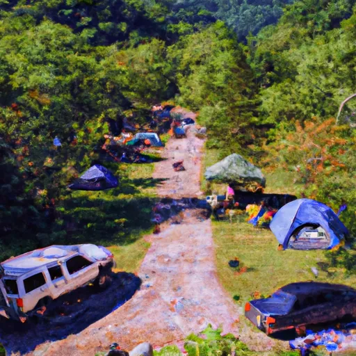
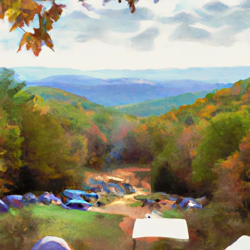
It is a prominent feature in the Blue Ridge Mountains and offers stunning panoramic views of the surrounding landscape. With its prominence and accessibility, Sassafras Mountain attracts both avid hikers and nature enthusiasts.
During the winter season, Sassafras Mountain experiences a moderate snowpack, typically ranging from a few inches to several feet, depending on the severity of the winter weather. This makes it an ideal destination for winter sports such as snowshoeing and cross-country skiing. Moreover, the mountain's snow-covered slopes provide a picturesque setting for outdoor activities.
Sassafras Mountain is known for its pristine creeks and rivers, which benefit from the mountain's runoff. One of the notable rivers that receives runoff from the mountain is the Chattooga River, a designated Wild and Scenic River that offers excellent whitewater rafting and fishing opportunities. These water sources not only provide recreational opportunities but also serve as vital habitats for various aquatic species.
The name "Sassafras" originates from the Sassafras tree, which is commonly found in the area. The mountain holds a rich history and folklore. Legends tell of hidden treasure and mysterious disappearances, adding an air of intrigue and adventure to the mountain's allure. Exploring the summit of Sassafras Mountain allows visitors to immerse themselves in the natural beauty of the Appalachian Mountains while also experiencing its rich cultural and historical heritage.
°F
°F
mph
Wind
%
Humidity
15-Day Weather Outlook
5-Day Hourly Forecast Detail
Regional Streamflow Levels
211
Cubic Feet Per Second
181
Cubic Feet Per Second
507
Cubic Feet Per Second
334
Cubic Feet Per Second
Area Campgrounds
| Location | Reservations | Toilets |
|---|---|---|
 Rocky Ford Campsite
|
||
 Amicalola Falls State Park
|
||
 Amicalola Mountain
|
