2026-02-23T13:00:00-08:00
Snow levels will range between 3,000 to 4,000 ft. * WHAT...Snow expected. Total snow accumulations 8 to 12 inches. * WHERE...Cascades of Pierce and Lewis Counties and Cascades of Southern King County. * WHEN...From 8 PM this evening to 1 PM PST Monday. * IMPACTS...Travel could be very difficult to impossible. The hazardous conditions could impact the Monday morning commute.
Summary
These twin peaks, known as the East and West Cowlitz Chimneys, stand tall at an elevation of around 6,500 feet. They are a favorite destination for mountaineers and climbers due to their challenging terrain and stunning panoramic views.
During the winter season, the Cowlitz Chimneys experience varying snowpack levels, influenced by the region's maritime climate. Snow accumulation can range from several feet to as much as 10 feet, depending on the specific winter conditions. The heavy snowfall in the area makes it a popular spot for backcountry skiing and snowshoeing enthusiasts.
The Cowlitz Chimneys are surrounded by several creeks and rivers that receive runoff from the mountain. Crystal-clear water flows down from the peaks, feeding into the nearby Cowlitz River, which is an important water source for the region. This pristine water source also supports a diverse ecosystem, allowing for the presence of various wildlife species and vegetation.
The name "Cowlitz Chimneys" is believed to have originated from the indigenous Cowlitz tribe, who once inhabited the area. The chimneys refer to the distinct rock formations that resemble towering smokestacks. While there are no specific legends or lore directly associated with the Cowlitz Chimneys, the area is rich in Native American history and is considered sacred by many indigenous communities.
Multiple reliable sources have been consulted to ensure the accuracy of the information provided in this summary.
°F
°F
mph
Wind
%
Humidity
15-Day Weather Outlook
5-Day Hourly Forecast Detail
Regional Streamflow Levels
850
Cubic Feet Per Second
2,820
Cubic Feet Per Second
1,100
Cubic Feet Per Second
677
Cubic Feet Per Second
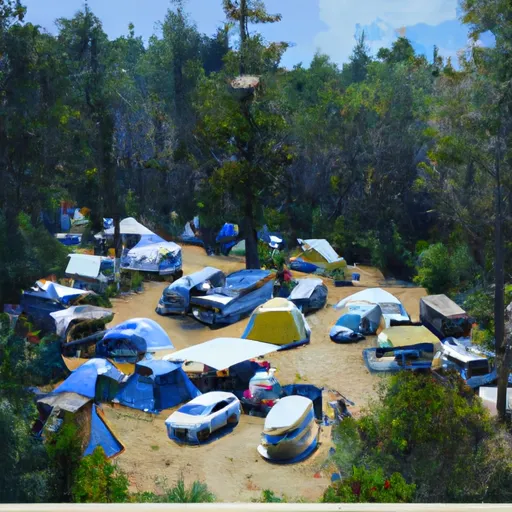
Area Campgrounds
| Location | Reservations | Toilets |
|---|---|---|
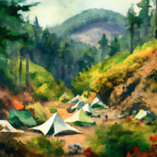 Indian Bar Camp
|
||
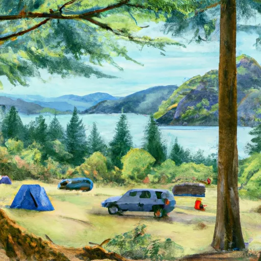 Deer Creek Camp
|
||
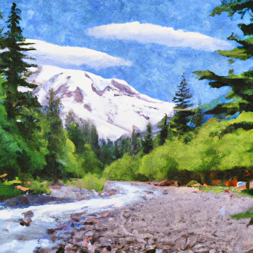 White River - Mount Rainier National Park
|
||
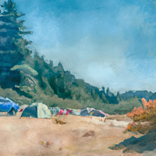 Sunrise Camp
|
||
 Olallie Creek Camp
|
||
 Camp Curtis
|
