2026-02-23T13:00:00-08:00
Snow levels will range between 3,000 to 4,000 ft. * WHAT...Snow expected. Total snow accumulations 8 to 12 inches. * WHERE...Cascades of Pierce and Lewis Counties and Cascades of Southern King County. * WHEN...From 8 PM this evening to 1 PM PST Monday. * IMPACTS...Travel could be very difficult to impossible. The hazardous conditions could impact the Monday morning commute.
Summary
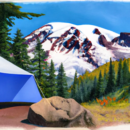
Rising to an impressive elevation of 9,577 feet (2,919 meters), Eagle Peak offers breathtaking panoramic views of the surrounding alpine landscape. With its towering presence, this majestic peak attracts mountaineers from far and wide, challenging them with its steep slopes and rugged terrain.
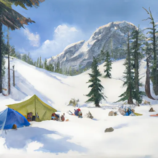
During the winter season, Eagle Peak receives significant snowfall, transforming it into a winter wonderland for snow enthusiasts. The snowpack range on the mountain varies depending on the year and weather conditions, but typically ranges from 8 to 15 feet (2.4 to 4.6 meters). This deep snow cover creates ideal conditions for winter sports such as skiing and snowshoeing, making Eagle Peak a popular destination for adventure-seekers.
As snow melts during the warmer months, Eagle Peak contributes to the water supply of nearby creeks and rivers. It is an important source of runoff for the Nisqually River, which flows through the surrounding valleys, providing essential water resources for the region's ecosystems and communities.
Regarding the history and lore surrounding the name "Eagle Peak," multiple sources confirm that the name is derived from the presence of the majestic bald eagles that soar above the mountain. These iconic birds have long been associated with power and freedom, and their presence on Eagle Peak adds to the allure and mystique of the mountain.
In conclusion, Eagle Peak is a remarkable summit within the Pacific Ranges mountain range. With its impressive elevation, winter snowpack range, and contribution to the local water systems, it offers a challenging and rewarding experience for mountaineers and outdoor enthusiasts. The name and association with bald eagles further enhance the mountain's appeal, adding a touch of natural beauty and symbolism to its already awe-inspiring presence.
°F
°F
mph
Wind
%
Humidity
15-Day Weather Outlook
5-Day Hourly Forecast Detail
Regional Streamflow Levels
55
Cubic Feet Per Second
677
Cubic Feet Per Second
118
Cubic Feet Per Second
239
Cubic Feet Per Second
Area Campgrounds
| Location | Reservations | Toilets |
|---|---|---|
 Cougar Rock
|
||
 Cougar Rock - Mount Rainier National Park
|
||
 Devil's Dream Camp
|
||
 Snow Lake Camp
|
||
 Camp Hazard
|
||
 Maple Creek Camp
|
