2026-02-23T13:00:00-08:00
Snow levels will range between 3,000 to 4,000 ft. * WHAT...Snow expected. Total snow accumulations 8 to 12 inches. * WHERE...Cascades of Snohomish and Northern King Counties and Cascades of Whatcom and Skagit Counties. * WHEN...From 8 PM this evening to 1 PM PST Monday. * IMPACTS...Travel could be very difficult to impossible. The hazardous conditions could impact the Monday morning commute.
Summary
With an elevation of 8,816 feet (2,687 meters), it is a popular destination for mountaineers seeking a challenging climb. The peak is known for its rugged and steep terrain, requiring technical climbing skills to reach the summit.
During the winter season, the snowpack on Forbidden Peak can vary greatly. The Pacific Ranges receive significant snowfall, and the mountain is often blanketed in deep snow. Snowpack depths can range from several feet to over ten feet, creating hazardous conditions for climbers. It is crucial for mountaineers to assess snow stability and avalanche risks before attempting an ascent.
Forbidden Peak is surrounded by several creeks and rivers that receive runoff from its melting snow. The most notable waterway is the Boston Glacier, which is located on the northern slopes of the mountain. This glacier feeds into the Boston Creek, contributing to its flow during the summer months. Other creeks and rivers, such as Forbidden Creek and Marblemount Creek, also receive runoff from the mountain's snowpack.
As for the history and lore, Forbidden Peak's name originates from its daring and challenging nature. It was named by early explorers who believed the peak to be nearly impossible to climb. However, it gained popularity among adventurous mountaineers, and its summit has been conquered by many since then. Though no specific legends or lore are widely associated with Forbidden Peak, its formidable reputation continues to captivate climbers and inspire them to conquer its slopes.
°F
°F
mph
Wind
%
Humidity
15-Day Weather Outlook
5-Day Hourly Forecast Detail
Regional Streamflow Levels
58
Cubic Feet Per Second
1,250
Cubic Feet Per Second
11
Cubic Feet Per Second
1,730
Cubic Feet Per Second
Area Campgrounds
| Location | Reservations | Toilets |
|---|---|---|
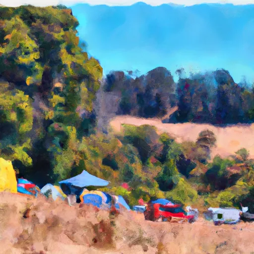 Johannesburg Camp
|
||
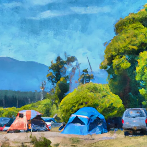 Skagit Queen
|
||
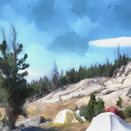 Thunder Basin Stock
|
||
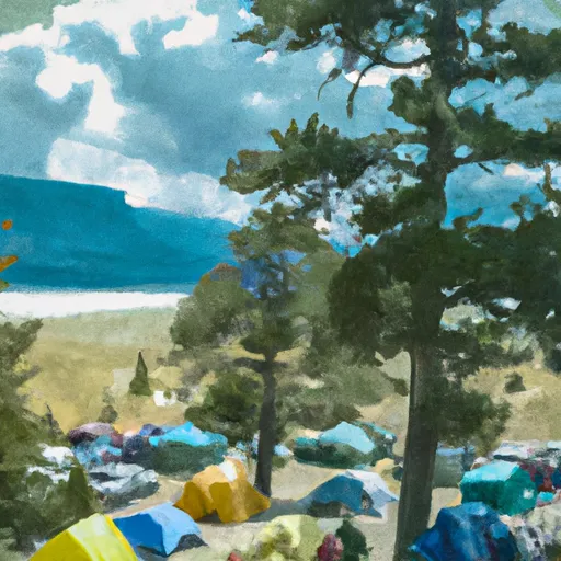 Pelton Basin
|
||
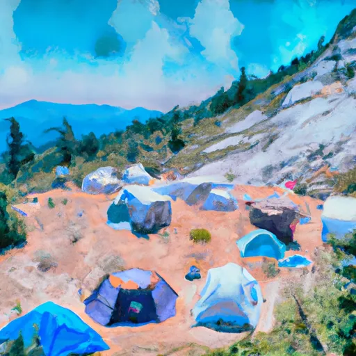 Thunder Basin Hiker
|
||
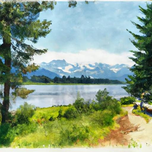 Trapper Lake Inlet
|
